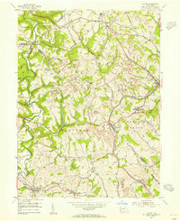
1954 Map of Clinton
USGS Topo · Published 1955About this map
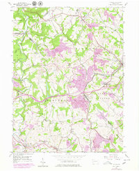
The industrial and rural intersection of western Pennsylvania is starkly defined by extensive mining activity and early transportation corridors in the mid-1950s. Dozens of Strip Mine sites and Mine Dump areas dot the terrain between Imperial and Clinton, showing a landscape heavily modified by coal extraction. The Montour RR winds through the eastern hills, serving the various mines and the settlement of Santiago (Tyre PO). Historic travel routes like the Lincoln Highway and William Penn Highway cut across the northern and central sections, anchoring local commerce. Along the banks of Raccoon Creek, smaller communities like Murdocksville and Bavington maintain their 19th-century settlement patterns, while the Raccoon Ch and Hebron Ch stand as established community landmarks. The topography is characterized by deep ravines carved by Potato Garden Run and Montour Run, leading up to high points like Bald Knob.
Find a feature on this map
45 named features on this map. Tap any name to fly to it.
Don’t see what you’re looking for? This feature index may not catch every label — zoom into the map to look around manually.
Map Details
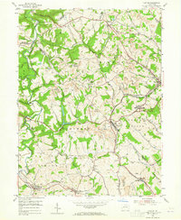
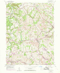
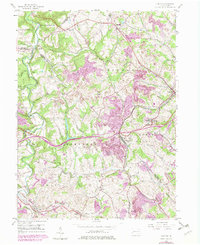
Editions of this 1954 Clinton Map
7 editions found
Other maps of this area

1901 · Beaver
USGS Topo · 1:62,500

1904 · Beaver
USGS Topo · 1:62,500

1904 · Carnegie
USGS Topo · 1:62,500

1904 · Burgettstown
USGS Topo · 1:62,500

1906 · Burgettstown
USGS Topo · 1:62,500

1906 · Carnegie
USGS Topo · 1:62,500

1906 · Sewickley
USGS Topo · 1:62,500

1908 · Sewickley
USGS Topo · 1:62,500

1908 · Carnegie
USGS Topo · 1:62,500

1951 · Canton
USGS Topo · 1:250,000
Featured Places
- Independence Township, PA
- Robinson Township, PA
- Clinton, Findlay Township
- Hanover Township, PA
- Smith Township, PA