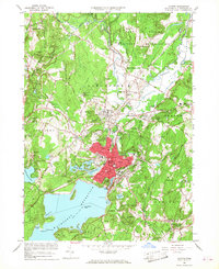
1965 Map of Clinton
USGS Topo · Published 1968About this map
The Wachusett Reservoir dominates the southern landscape of this mid-1960s study, its northern shoreline defining the development of Clinton. This industrial and educational hub is centered around the Nashua River and its various ponds, including Coachlace Pond and Mossy Pond. The presence of Atlantic Union College in South Lancaster and the Convent of the Cenacle underscore the area's significance as a center for religious and higher education.
Find a feature on this map
103 named features on this map. Tap any name to fly to it.
Don’t see what you’re looking for? This feature index may not catch every label — zoom into the map to look around manually.
Map Details
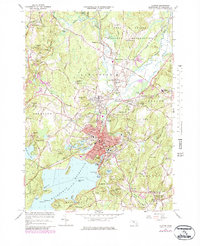
Editions of this 1965 Clinton Map
2 editions found
Other maps of this area

1885 · Worcester
USGS Topo · 1:62,500

1886 · Worcester
USGS Topo · 1:62,500

1887 · Marlboro
USGS Topo · 1:62,500

1887 · Fitchburg
USGS Topo · 1:62,500

1889 · Marlboro
USGS Topo · 1:62,500

1889 · Fitchburg
USGS Topo · 1:62,500

1892 · Worcester
USGS Topo · 1:62,500

1893 · Fitchburg
USGS Topo · 1:62,500

1893 · Groton
USGS Topo · 1:62,500

1896 · Marlboro
USGS Topo · 1:62,500