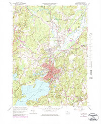
1965 Map of Clinton
USGS Topo · Published 1979About this map
The Wachusett Reservoir dominates the southern landscape of this mid-century survey, its expansive waters submerging former valley lands and creating features like Cemetery Island. The industrial and civic center of Clinton is densely detailed, showing a concentration of municipal infrastructure from the Clinton Hospital to the numerous local schools like Greeley Sch and Gaunt Sch. Northward, the Nashua River meanders toward the Fort Devens Military Reservation, passing the site of the Ponakin Mill.
Find a feature on this map
95 named features on this map. Tap any name to fly to it.
Don’t see what you’re looking for? This feature index may not catch every label — zoom into the map to look around manually.
Map Details
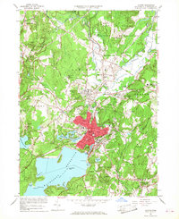
Editions of this 1965 Clinton Map
2 editions found
Other maps of this area

1885 · Worcester
USGS Topo · 1:62,500

1886 · Worcester
USGS Topo · 1:62,500

1887 · Marlboro
USGS Topo · 1:62,500

1887 · Fitchburg
USGS Topo · 1:62,500

1889 · Marlboro
USGS Topo · 1:62,500

1889 · Fitchburg
USGS Topo · 1:62,500

1892 · Worcester
USGS Topo · 1:62,500

1893 · Fitchburg
USGS Topo · 1:62,500

1893 · Groton
USGS Topo · 1:62,500

1896 · Marlboro
USGS Topo · 1:62,500