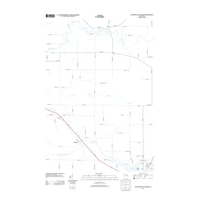
2013 Map of Clintonville North
USGS Topo · Published 2013About this map
Pella and Buckbee serve as central points in this rural Wisconsin landscape, where the drainage network of the Embarrass River and the Pigeon River system dictates the settlement pattern. The terrain is defined by a dense web of county highways and local roads, including Co Hwy-D and Co Hwy-M, which connect family farms and woodlots. In the southern portion of the map, the confluence of the N Br Pigeon River and South Branch Pigeon River leads toward Pigeon Lake, where Picnic Point offers a recreational contrast to the surrounding agricultural grid. Numerous smaller waterways like Hydes Cr and Brandy Cr bisect the townships, illustrating the importance of local hydrology to the area's development. This survey provides a clear view of the rural infrastructure as it stood in the early 21st century, prior to further modernization of the Us-45 corridor.
Find a feature on this map
74 named features on this map. Tap any name to fly to it.
Don’t see what you’re looking for? This feature index may not catch every label — zoom into the map to look around manually.
Map Details
Editions of this 2013 Clintonville North Map
This is the sole edition of this map. No revisions or reprints were ever made.
Other maps of this area

1954 · Gresham
USGS Topo · 1:48,000

1954 · Shawano
USGS Topo · 1:48,000

1955 · Embarrass
USGS Topo · 1:48,000

1955 · Clintonville
USGS Topo · 1:48,000

1955 · Green Bay
USGS Topo · 1:250,000

1964 · Shawano
USGS Topo · 1:62,500

1964 · Gresham
USGS Topo · 1:62,500

1969 · Embarrass
USGS Topo · 1:24,000

1969 · Bear Creek
USGS Topo · 1:24,000

1970 · Clintonville North
USGS Topo · 1:24,000