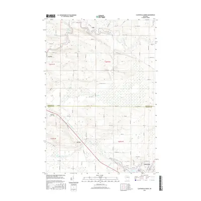
2016 Map of Clintonville North
USGS Topo · Published 2016About this map
Pella and Marion anchor this rural landscape where the Embarrass River and its various tributaries cut through the border of Shawano and Waupaca counties. The northern reaches are defined by water management at Hayman Falls Pond and Pella Pond, while the extensive Pella Swamp dominates the central terrain. To the south, the city of Clintonville borders Pigeon Lake and Picnic Point, showing a more developed footprint compared to the outlying hamlets.
Find a feature on this map
90 named features on this map. Tap any name to fly to it.
Don’t see what you’re looking for? This feature index may not catch every label — zoom into the map to look around manually.
Map Details
Editions of this 2016 Clintonville North Map
This is the sole edition of this map. No revisions or reprints were ever made.
Other maps of this area

1954 · Gresham
USGS Topo · 1:48,000

1954 · Shawano
USGS Topo · 1:48,000

1955 · Embarrass
USGS Topo · 1:48,000

1955 · Clintonville
USGS Topo · 1:48,000

1955 · Green Bay
USGS Topo · 1:250,000

1964 · Shawano
USGS Topo · 1:62,500

1964 · Gresham
USGS Topo · 1:62,500

1969 · Embarrass
USGS Topo · 1:24,000

1969 · Bear Creek
USGS Topo · 1:24,000

1970 · Clintonville North
USGS Topo · 1:24,000