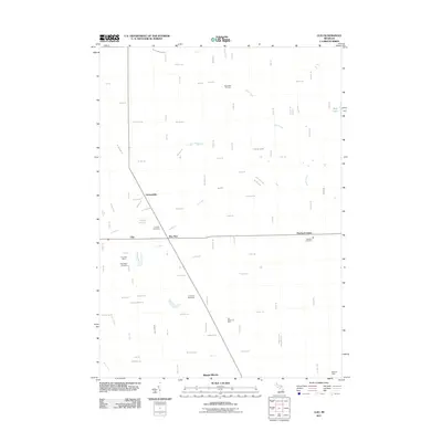
2011 Map of Clio
USGS Topo · Published 2011About this map
Clio and Pine Run serve as the primary hubs in this section of Genesee County, where a grid of rural roads connects established settlements with industrial and recreational sites. The landscape is defined by its water management and resource extraction, notably the Birch Bela Oil Field in the north and the networks of the Horton Graham Drain and Moon Drain. This 2011 survey captures the area’s mix of residential development and community infrastructure, from the Clio Post Office to the prominent Auto City Speedway. Genealogy researchers can find several established burial grounds, including Woodlawn Cemetery, Pine Run Cemetery, and Thetford Cemetery. The map also illustrates the transition between local commerce and regional green spaces like Flint Memorial Park, while documenting the drainage basins of Dead Creek and Parker Creek as they weave through the surrounding townships.
Find a feature on this map
88 named features on this map. Tap any name to fly to it.
Don’t see what you’re looking for? This feature index may not catch every label — zoom into the map to look around manually.
Map Details
Editions of this 2011 Clio Map
This is the sole edition of this map. No revisions or reprints were ever made.
Other maps of this area

1919 · Saginaw
USGS Topo · 1:62,500

1919 · Burt
USGS Topo · 1:62,500

1920 · Flint
USGS Topo · 1:62,500

1921 · Burt
USGS Topo · 1:62,500

1922 · Flint
USGS Topo · 1:62,500

1941 · Saginaw
USGS Topo · 1:62,500

1943 · Burt
USGS Topo · 1:62,500

1943 · Saginaw
USGS Topo · 1:62,500

1943 · Flint
USGS Topo · 1:62,500

1954 · Flint
USGS Topo · 1:250,000