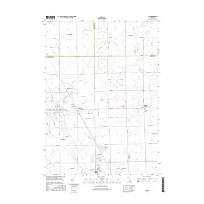
2017 Map of Clio
USGS Topo · Published 2017About this map
Clio and Mount Morris anchor this Genesee County landscape, where the agricultural grid of the Thumb region is etched with numerous drainage systems. The area's water-management history is visible through named features such as Alpine and Blackmore Drain, Horton Graham Drain, and Runnels Drain, reflecting the transformation of this terrain for settlement and farming. Along the corridor between Clio and Mount Morris, the community of Pine Run persists near its namesake creek, while the presence of several cemeteries—including Pine Run Cem and Woodlawn Cem—offers points of interest for genealogical research. To the east, Thetford Center marks a smaller hub of activity. The transition from town to country is further delineated by Flint Memorial Park and the rural intersection at Farrandville, documenting the spatial organization of these communities in the early 21st century.
Find a feature on this map
114 named features on this map. Tap any name to fly to it.
Don’t see what you’re looking for? This feature index may not catch every label — zoom into the map to look around manually.
Map Details
Editions of this 2017 Clio Map
This is the sole edition of this map. No revisions or reprints were ever made.
Other maps of this area

1919 · Saginaw
USGS Topo · 1:62,500

1919 · Burt
USGS Topo · 1:62,500

1920 · Flint
USGS Topo · 1:62,500

1921 · Burt
USGS Topo · 1:62,500

1922 · Flint
USGS Topo · 1:62,500

1941 · Saginaw
USGS Topo · 1:62,500

1943 · Burt
USGS Topo · 1:62,500

1943 · Saginaw
USGS Topo · 1:62,500

1943 · Flint
USGS Topo · 1:62,500

1954 · Flint
USGS Topo · 1:250,000