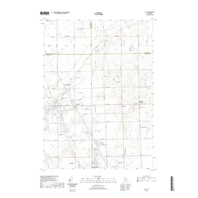
2019 Map of Clio
USGS Topo · Published 2019About this map
Mount Morris and the city of Clio anchor this 2019 survey of the northern Genesee County landscape, illustrating a transition between suburban development and the agricultural drains of the Thumb region. The drainage network is particularly dense here, with intricate systems like Silver Cr Drain, Horton Graham Drain, and Willis Drain managing the low-lying terrain. These man-made and natural watercourses define the property lines and road grids across township boundaries where Saginaw, Tuscola, and Genesee counties meet.
Find a feature on this map
120 named features on this map. Tap any name to fly to it.
Don’t see what you’re looking for? This feature index may not catch every label — zoom into the map to look around manually.
Map Details
Editions of this 2019 Clio Map
This is the sole edition of this map. No revisions or reprints were ever made.
Other maps of this area

1919 · Saginaw
USGS Topo · 1:62,500

1919 · Burt
USGS Topo · 1:62,500

1920 · Flint
USGS Topo · 1:62,500

1921 · Burt
USGS Topo · 1:62,500

1922 · Flint
USGS Topo · 1:62,500

1941 · Saginaw
USGS Topo · 1:62,500

1943 · Burt
USGS Topo · 1:62,500

1943 · Saginaw
USGS Topo · 1:62,500

1943 · Flint
USGS Topo · 1:62,500

1954 · Flint
USGS Topo · 1:250,000