
1964 Map of Clio
USGS Topo · Published 1966About this map
Bob White State Park dominates the northeastern landscape of this Wayne County quadrangle, where the headwaters and tributaries of several river systems converge. The terrain is defined by the high, rolling divides between the Chariton River and the branching reaches of Middle Fork Medicine Creek and West Fork Medicine Creek. This 1964 survey captures the agrarian character of south-central Iowa, dotted with small cemeteries including Hazel Dell Cem, Higley Cem, and Greenridge Cem, which often serve as the primary markers of local family history in these rural townships. The Chicago Rock Island and Pacific railroad cuts through the center of the sheet, providing a vital transportation link for the small settlements of Clio and Allerton. This rail corridor influenced the development of the region, connecting remote farmsteads to larger markets via the southern border near Turkey Creek.
Find a feature on this map
19 named features on this map. Tap any name to fly to it.
Don’t see what you’re looking for? This feature index may not catch every label — zoom into the map to look around manually.
Map Details
Editions of this 1964 Clio Map
This is the sole edition of this map. No revisions or reprints were ever made.
Other maps of this area

1934 · Humeston
USGS Topo · 1:48,000

1937 · Corydon
USGS Topo · 1:62,500

1954 · Centerville
USGS Topo · 1:250,000

1957 · Centerville
USGS Topo · 1:250,000

1958 · Centerville
USGS Topo · 1:250,000

1964 · Woodland
USGS Topo · 1:24,000

1964 · Allerton
USGS Topo · 1:24,000

1964 · Cleopatra
USGS Topo · 1:24,000
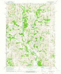
1964 · Powersville
USGS Topo · 1:24,000
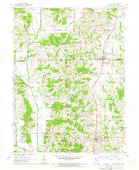
1964 · Lineville
USGS Topo · 1:24,000