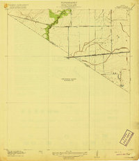
1919 Map of Clodine
USGS Topo · Published 1919About this map
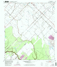
The San Antonio and Aransas Pass R R cuts a straight line through this Gulf Coast prairie landscape, passing through the settlement of Clodine just north of the Harris Co Fort Bend Co line. This preliminary 1919 survey documents a region in transition, where early transportation routes like the Texas Western R R (Abandoned) were already fading from the map. The drainage patterns of the upper Buffalo Bayou and Brays Bayou systems are meticulously charted, showing the natural meandering of these waterways before modern flood control efforts. Local thoroughfares such as Barker Road and Addicks Road connect the scattered homesteads near Howell to the larger rail network. The map notably leaves a portion as a Preliminary Edition Unsurveyed Area, reflecting the ongoing nature of the USGS work in the Texas coastal plain during the early twentieth century.
Find a feature on this map
11 named features on this map. Tap any name to fly to it.
Don’t see what you’re looking for? This feature index may not catch every label — zoom into the map to look around manually.
Map Details
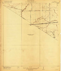
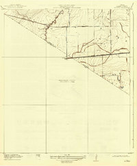
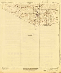
Editions of this 1919 Clodine Map
3 editions found
Historical Maps of Houston Through Time
37 maps found

1915 Clodine
Fort Bend County, TX
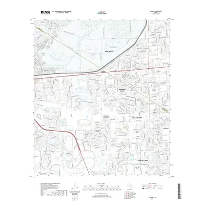
1919 Clodine
Fort Bend County, TX
1920 Almeda
Fort Bend County, TX
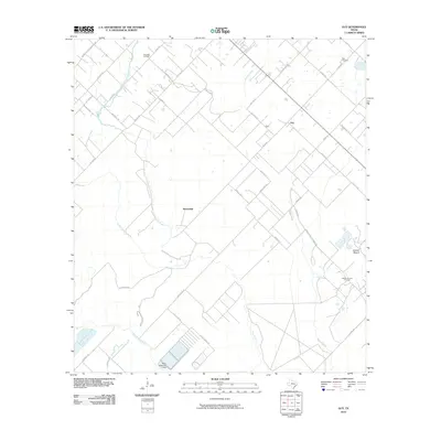
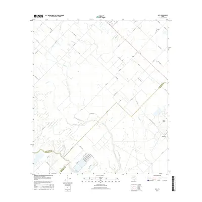
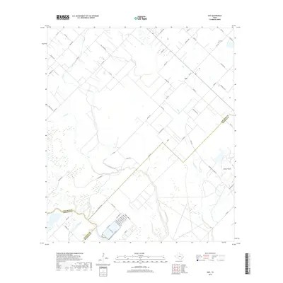
1953 Guy
Fort Bend County, TX
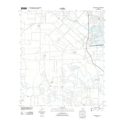
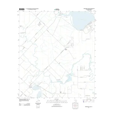
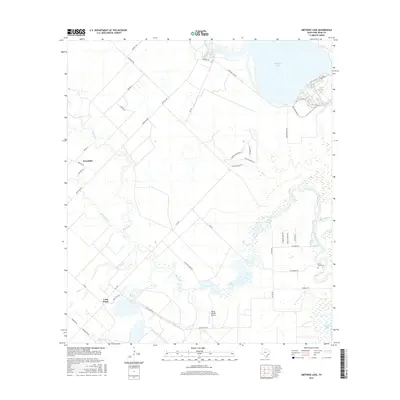
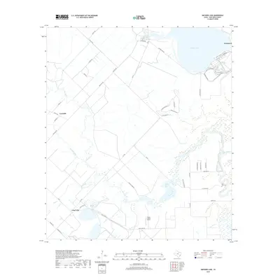
1953 Smithers Lake
Fort Bend County, TX
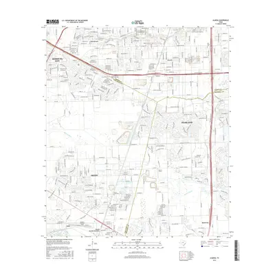
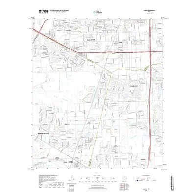
1955 Almeda
Fort Bend County, TX

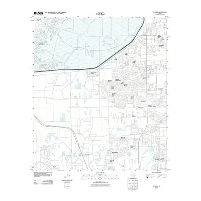
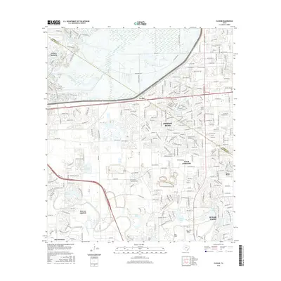
1970 Clodine
Fort Bend County, TX
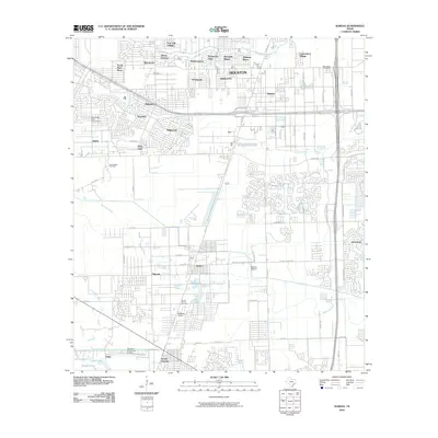
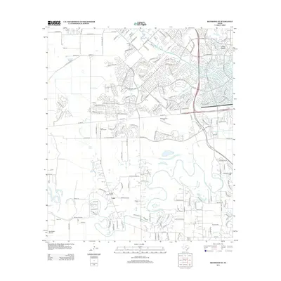
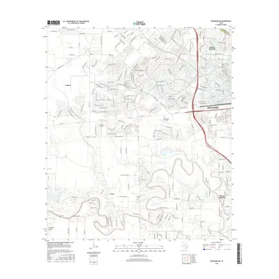
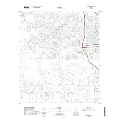
1971 Richmond NE
Fort Bend County, TX

1982 Almeda
Fort Bend County, TX

1982 Clodine
Fort Bend County, TX

1995 Almeda
Fort Bend County, TX

1995 Clodine
Fort Bend County, TX
2010 Almeda
Fort Bend County, TX
2010 Clodine
Fort Bend County, TX
2010 Guy
Fort Bend County, TX
2010 Richmond NE
Fort Bend County, TX
2010 Smithers Lake
Fort Bend County, TX
2013 Almeda
Fort Bend County, TX
2013 Clodine
Fort Bend County, TX
2013 Guy
Fort Bend County, TX
2013 Richmond NE
Fort Bend County, TX
2013 Smithers Lake
Fort Bend County, TX
2016 Almeda
Fort Bend County, TX
2016 Clodine
Fort Bend County, TX
2016 Guy
Fort Bend County, TX
2016 Richmond NE
Fort Bend County, TX
2016 Smithers Lake
Fort Bend County, TX
2019 Almeda
Fort Bend County, TX
2019 Clodine
Fort Bend County, TX
2019 Guy
Fort Bend County, TX
2019 Richmond NE
Fort Bend County, TX
2019 Smithers Lake
Fort Bend County, TX

2022 Almeda
Fort Bend County, TX

2022 Clodine
Fort Bend County, TX
2022 Guy
Fort Bend County, TX
2022 Richmond NE
Fort Bend County, TX
2022 Smithers Lake
Fort Bend County, TX