1919 Map of Clodine
USGS Topo · Published 1938About this map
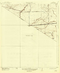
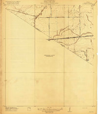
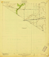
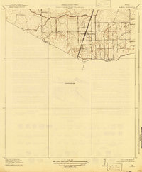
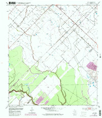
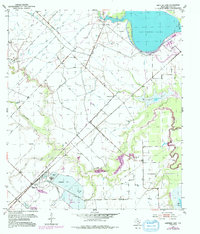
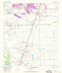
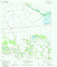
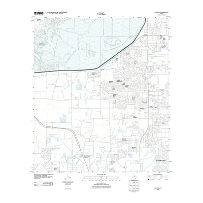
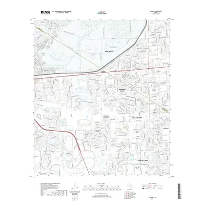
Clodine stands at the intersection of a developing agricultural landscape and early Texas rail infrastructure in this 1915 survey. The map highlights the transition between the San Antonio and Aransas Pass R R, which remains active through the center of the sheet, and the already defunct Texas Western R R (Abandoned) further north. This shift in transportation patterns reflects the changing economic fortunes of the western edge of Harris Co Fort Bend Co during the early twentieth century. Drainage and water access are central to the terrain, defined by the winding course of Brays Bayou and another unnamed Bayou. Local infrastructure is anchored by key thoroughfares like Barker Road and Addicks Road, providing a clear look at the rural road network before the area's modern expansion. Small railroad-aligned points like Howell suggest the localized nature of commerce and transit in this period.
Find a feature on this map
11 named features on this map. Tap any name to fly to it.
Don’t see what you’re looking for? This feature index may not catch every label — zoom into the map to look around manually.
Map Details
Editions of this 1919 Clodine Map
3 editions found
Historical Maps of Houston Through Time
37 maps found

1915 Clodine
Fort Bend County, TX
1919 Clodine
Fort Bend County, TX
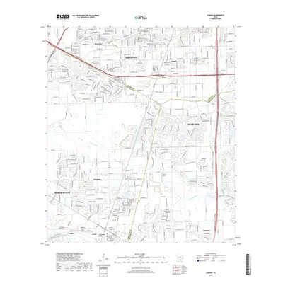
1920 Almeda
Fort Bend County, TX
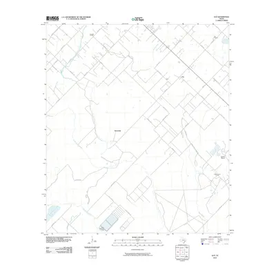
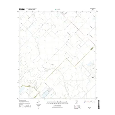
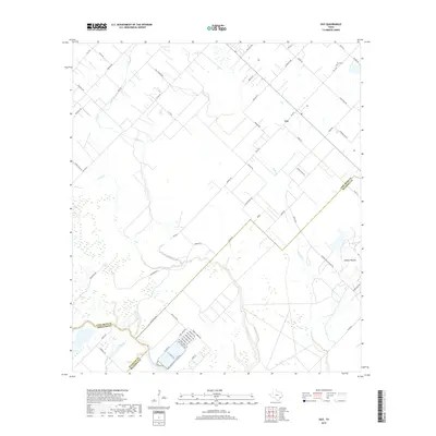
1953 Guy
Fort Bend County, TX
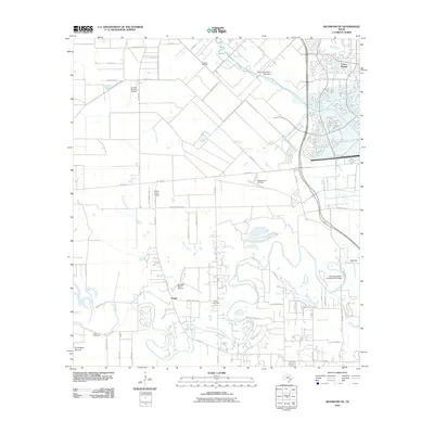
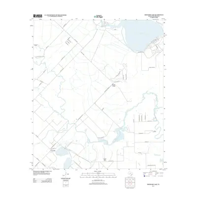
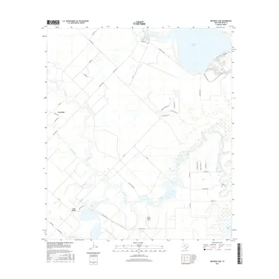
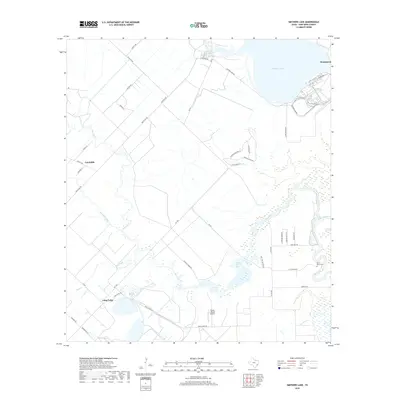
1953 Smithers Lake
Fort Bend County, TX
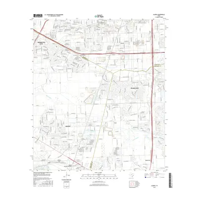
1955 Almeda
Fort Bend County, TX

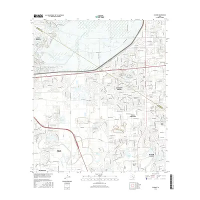
1970 Clodine
Fort Bend County, TX
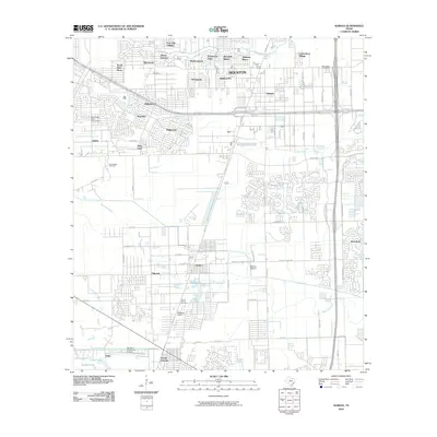
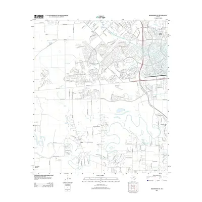
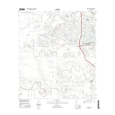
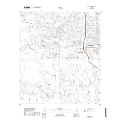
1971 Richmond NE
Fort Bend County, TX

1982 Almeda
Fort Bend County, TX

1982 Clodine
Fort Bend County, TX

1995 Almeda
Fort Bend County, TX

1995 Clodine
Fort Bend County, TX
2010 Almeda
Fort Bend County, TX
2010 Clodine
Fort Bend County, TX
2010 Guy
Fort Bend County, TX
2010 Richmond NE
Fort Bend County, TX
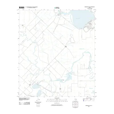
2010 Smithers Lake
Fort Bend County, TX
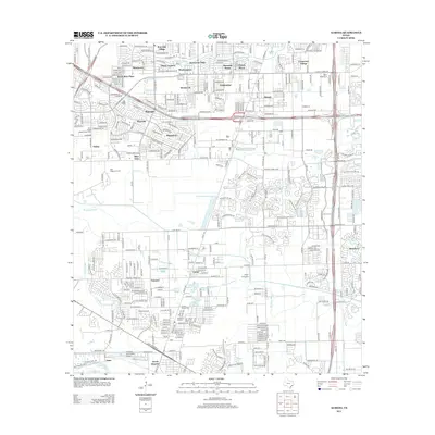
2013 Almeda
Fort Bend County, TX
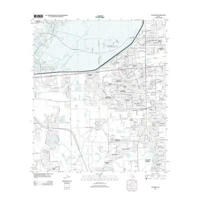
2013 Clodine
Fort Bend County, TX
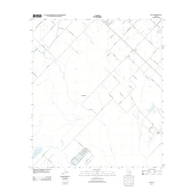
2013 Guy
Fort Bend County, TX
2013 Richmond NE
Fort Bend County, TX
2013 Smithers Lake
Fort Bend County, TX
2016 Almeda
Fort Bend County, TX
2016 Clodine
Fort Bend County, TX
2016 Guy
Fort Bend County, TX
2016 Richmond NE
Fort Bend County, TX
2016 Smithers Lake
Fort Bend County, TX
2019 Almeda
Fort Bend County, TX
2019 Clodine
Fort Bend County, TX
2019 Guy
Fort Bend County, TX
2019 Richmond NE
Fort Bend County, TX
2019 Smithers Lake
Fort Bend County, TX

2022 Almeda
Fort Bend County, TX

2022 Clodine
Fort Bend County, TX
2022 Guy
Fort Bend County, TX
2022 Richmond NE
Fort Bend County, TX
2022 Smithers Lake
Fort Bend County, TX