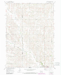
1963 Map of Closter SE
USGS Topo · Published 1985About this map
Newman Grove sits at the southern edge of this agricultural landscape, where the boundary between Boone Co and Madison Co marks a region defined by its dispersed rural institutions. The 1960s terrain is characterized by a high density of one-room schoolhouses, including School No 8, School No 58, and School No 67, signaling a time when local education was still decentralized across the township blocks.
Find a feature on this map
16 named features on this map. Tap any name to fly to it.
Don’t see what you’re looking for? This feature index may not catch every label — zoom into the map to look around manually.
Map Details
Editions of this 1963 Closter SE Map
2 editions found
Other maps of this area

1955 · Fremont
USGS Topo · 1:250,000

1957 · Fremont
USGS Topo · 1:250,000

1958 · Fremont
USGS Topo · 1:250,000

1958 · Albion East
USGS Topo · 1:24,000

1963 · Closter SW
USGS Topo · 1:24,000

1963 · Emerick
USGS Topo · 1:24,000

1963 · Closter SE
USGS Topo · 1:24,000
1963 · Closter
USGS Topo · 1:24,000
1963 · Closter NE
USGS Topo · 1:24,000

1963 · Battle Creek SW
USGS Topo · 1:24,000