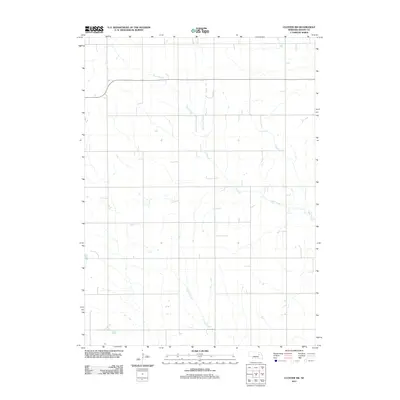
2011 Map of Closter SW
USGS Topo · Published 2011About this map
Shell Creek meanders through the heart of this agricultural landscape in Boone County, carving a distinct path across the north and eastern portions of the terrain. The drainage patterns of the region are further defined by the presence of Vorhees Creek to the south, highlighting a topography shaped by persistent waterways in a rural prairie setting. This 2011 survey illustrates the precise distribution of rural road networks that grid the landscape, providing a clear view of the land division and the relationship between these essential water sources and the surrounding farm country. The map serves as a primary record of the hydrological and infrastructural state of this portion of Nebraska at the start of the second decade of the twenty-first century.
Find a feature on this map
2 named features on this map. Tap any name to fly to it.
Don’t see what you’re looking for? This feature index may not catch every label — zoom into the map to look around manually.
Map Details
Editions of this 2011 Closter SW Map
This is the sole edition of this map. No revisions or reprints were ever made.
Other maps of this area

1954 · Albion West
USGS Topo · 1:24,000

1955 · Broken Bow
USGS Topo · 1:250,000

1955 · Fremont
USGS Topo · 1:250,000

1956 · Broken Bow
USGS Topo · 1:250,000

1957 · Fremont
USGS Topo · 1:250,000

1958 · Fremont
USGS Topo · 1:250,000

1958 · Albion East
USGS Topo · 1:24,000

1963 · Petersburg
USGS Topo · 1:24,000

1963 · Closter SW
USGS Topo · 1:24,000

1963 · Closter SE
USGS Topo · 1:24,000