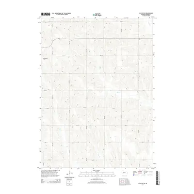
2014 Map of Closter SW
USGS Topo · Published 2014About this map
The agrarian landscape of Boone County is defined by the winding course of Shell Cr, which meanders across the plains in a series of tightly packed oxbows and sharp bends. This 2014 survey illustrates the precise topography of the Platte River valley watershed, where the drainage of Shell Cr and its northern tributary, N Shell Cr, dictate the local terrain. The map reveals a strictly organized section-line road network, a hallmark of Midwestern land division that has persisted since the nineteenth century. This grid of county roads and avenues provides a window into the enduring spatial organization of Nebraska's farming communities, where the location of every farmstead and creek crossing remains tied to the original cadastral surveys.
Find a feature on this map
2 named features on this map. Tap any name to fly to it.
Don’t see what you’re looking for? This feature index may not catch every label — zoom into the map to look around manually.
Map Details
Editions of this 2014 Closter SW Map
This is the sole edition of this map. No revisions or reprints were ever made.
Other maps of this area

1954 · Albion West
USGS Topo · 1:24,000

1955 · Broken Bow
USGS Topo · 1:250,000

1955 · Fremont
USGS Topo · 1:250,000

1956 · Broken Bow
USGS Topo · 1:250,000

1957 · Fremont
USGS Topo · 1:250,000

1958 · Fremont
USGS Topo · 1:250,000

1958 · Albion East
USGS Topo · 1:24,000

1963 · Petersburg
USGS Topo · 1:24,000

1963 · Closter SW
USGS Topo · 1:24,000

1963 · Closter SE
USGS Topo · 1:24,000