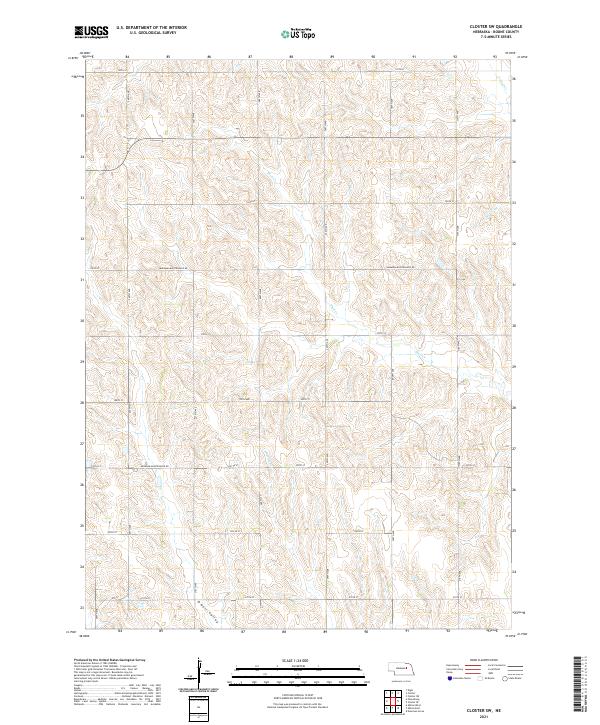
2021 Map of Closter SW
USGS Topo · Published 2021About this map
O Neil Valley and the drainage network of Shell Cr define this agricultural landscape in Boone County, as captured in 2021. The terrain is a complex series of draws and ridges, primarily utilized for sprawling farm tracts and cattle grazing. The survey reflects the enduring American Sectional Grid system, where numbered section lines dictate the placement of local thoroughfares like 130th St and 210th St.
Find a feature on this map
16 named features on this map. Tap any name to fly to it.
Don’t see what you’re looking for? This feature index may not catch every label — zoom into the map to look around manually.
Map Details
Editions of this 2021 Closter SW Map
This is the sole edition of this map. No revisions or reprints were ever made.
Other maps of this area

1954 · Albion West
USGS Topo · 1:24,000

1955 · Broken Bow
USGS Topo · 1:250,000

1955 · Fremont
USGS Topo · 1:250,000

1956 · Broken Bow
USGS Topo · 1:250,000

1957 · Fremont
USGS Topo · 1:250,000

1958 · Fremont
USGS Topo · 1:250,000

1958 · Albion East
USGS Topo · 1:24,000

1963 · Petersburg
USGS Topo · 1:24,000

1963 · Closter SW
USGS Topo · 1:24,000

1963 · Closter SE
USGS Topo · 1:24,000