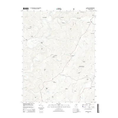
2014 Map of Clover Lick
USGS Topo · Published 2014About this map
Stony Bottom and Sitlington sit along the winding course of the Greenbrier River, marking a landscape defined by its high ridges and narrow creek valleys. This 2014 survey captures the rural character of Pocahontas County, where settlements like Clover Lick and Dilleys Mill are connected by winding mountain roads. Much of the eastern and southern terrain is protected as part of the Monongahela National Forest, providing a haven for recreation along the Allegheny Trail.
Find a feature on this map
53 named features on this map. Tap any name to fly to it.
Don’t see what you’re looking for? This feature index may not catch every label — zoom into the map to look around manually.
Map Details
Editions of this 2014 Clover Lick Map
This is the sole edition of this map. No revisions or reprints were ever made.
Other maps of this area

1891 · Huntersville
USGS Topo · 1:125,000

1894 · Huntersville
USGS Topo · 1:125,000

1901 · Monterey
USGS Topo · 1:125,000

1922 · Cass
USGS Topo · 1:48,000

1923 · Marlinton
USGS Topo · 1:48,000

1923 · Warm Springs
USGS Topo · 1:48,000

1923 · Mingo
USGS Topo · 1:48,000

1924 · Cass
USGS Topo · 1:62,500

1925 · Mingo
USGS Topo · 1:62,500

1925 · Marlinton
USGS Topo · 1:62,500