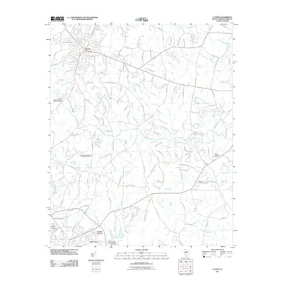
2011 Map of Clover
USGS Topo · Published 2011About this map
Clover serves as the primary hub of this northern York County landscape, where the residential developments of English Gardens and Poplar Acres mark the southern outskirts. The terrain is defined by a dense network of waterways, including Allison Creek, Fishing Creek, and Beaverdam Creek, which dictated the early placement of family cemeteries and crossings. Genealogists will find the Clover Chapel Cemetery and Fishing Creek Cemetery as important ancestral touchpoints.
Find a feature on this map
159 named features on this map. Tap any name to fly to it.
Don’t see what you’re looking for? This feature index may not catch every label — zoom into the map to look around manually.
Map Details
Editions of this 2011 Clover Map
This is the sole edition of this map. No revisions or reprints were ever made.
Other maps of this area

1906 · Kings Mountain
USGS Topo · 1:62,500

1907 · Sharon
USGS Topo · 1:62,500

1908 · Kings Mountain
USGS Topo · 1:62,500

1941 · Spartanburg
USGS Topo · 1:250,000

1947 · Clover
USGS Topo · 1:62,500

1949 · Clover
USGS Topo · 1:62,500

1949 · Rock Hill
USGS Topo · 1:62,500

1953 · Spartanburg
USGS Topo · 1:250,000

1953 · Charlotte
USGS Topo · 1:250,000

1954 · Charlotte
USGS Topo · 1:250,000