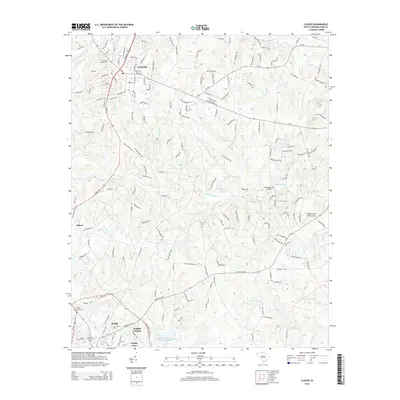
2014 Map of Clover
USGS Topo · Published 2014About this map
Clover and the northern reaches of York anchor this landscape during a period of modern residential expansion in York County. The map details the transition from traditional rural patterns to suburban development, evident in neighborhoods like English Gardens and Poplar Acres. Historically significant sites for genealogists include Clover Chapel Cem and Fishing Creek Cem, which remain as fixed points amidst the changing terrain. The drainage network is particularly dense, with Allison Creek and Fishing Creek carving through the Piedmont landscape, supported by infrastructure like the Fishing Creek Watershed Dam Number One. A mix of legacy farm roads and modern state routes, including SC-557, connect the established town centers to outlying areas such as Filbert. Near the eastern edge, the Bethel-Lake Wylie Airport and John B Harvey Bridge reflect the area's role as a transportation corridor between regional hubs.
Find a feature on this map
180 named features on this map. Tap any name to fly to it.
Don’t see what you’re looking for? This feature index may not catch every label — zoom into the map to look around manually.
Map Details
Editions of this 2014 Clover Map
This is the sole edition of this map. No revisions or reprints were ever made.
Other maps of this area

1906 · Kings Mountain
USGS Topo · 1:62,500

1907 · Sharon
USGS Topo · 1:62,500

1908 · Kings Mountain
USGS Topo · 1:62,500

1941 · Spartanburg
USGS Topo · 1:250,000

1947 · Clover
USGS Topo · 1:62,500

1949 · Clover
USGS Topo · 1:62,500

1949 · Rock Hill
USGS Topo · 1:62,500

1953 · Spartanburg
USGS Topo · 1:250,000

1953 · Charlotte
USGS Topo · 1:250,000

1954 · Charlotte
USGS Topo · 1:250,000