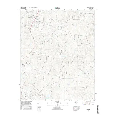
2017 Map of Clover
USGS Topo · Published 2017About this map
Clover and the northern outskirts of York anchor this topographic survey of York County, revealing a landscape defined by its branching waterway systems. The town of Clover sits at the northern end of the map, characterized by a concentration of residential streets and sites of local importance such as the Clover Chapel Cem. To the south, the settlement of Filbert marks a transition into more dispersed rural land, where agriculture and watershed management are prominent features.
Find a feature on this map
138 named features on this map. Tap any name to fly to it.
Don’t see what you’re looking for? This feature index may not catch every label — zoom into the map to look around manually.
Map Details
Editions of this 2017 Clover Map
This is the sole edition of this map. No revisions or reprints were ever made.
Other maps of this area

1906 · Kings Mountain
USGS Topo · 1:62,500

1907 · Sharon
USGS Topo · 1:62,500

1908 · Kings Mountain
USGS Topo · 1:62,500

1941 · Spartanburg
USGS Topo · 1:250,000

1947 · Clover
USGS Topo · 1:62,500

1949 · Clover
USGS Topo · 1:62,500

1949 · Rock Hill
USGS Topo · 1:62,500

1953 · Spartanburg
USGS Topo · 1:250,000

1953 · Charlotte
USGS Topo · 1:250,000

1954 · Charlotte
USGS Topo · 1:250,000