Loading...
Loading map...2024 Map of Clover
USGS Topo · Published 2024About this map
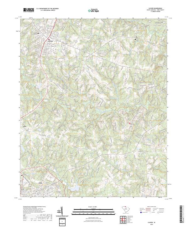
Clover and the northern edge of York anchor this York County landscape, where the Piedmont terrain is deeply etched by a complex dendritic drainage system. The northern half of the sheet is defined by the headwaters of Beaverdam Creek and Allison Creek, while the southern reaches are shaped by Fishing Creek and its nearby Fishing Creek Cem. These watercourses historically dictated the placement of early settlements and road networks, such as the path toward Filbert.
Find a feature on this map
159 named features on this map. Tap any name to fly to it.
Don’t see what you’re looking for? This feature index may not catch every label — zoom into the map to look around manually.
Map Details
Date Portrayed2024
Date Published2024
PublisherU.S. Geological Survey
Map TypeTopographic
Scale1:24000
Physical Dimensions24 x 29 inches
Editions of this 2024 Clover Map
This is the sole edition of this map. No revisions or reprints were ever made.
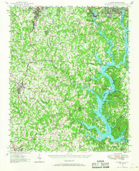
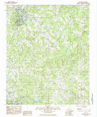
Historical Maps of Poplar Acres Through Time
4 maps found

Featured Locations
Source Details
SourceU.S. Geological Survey
CopyrightPublic Domain