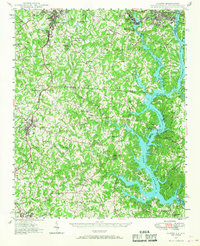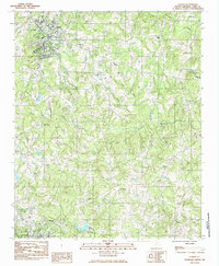
1985 Map of Clover
USGS Topo · Published 1985About this map
The town of Clover and the nearby settlement of Filbert anchor this 1980s landscape in York County, where the transition from rural crossroads to growing community is evident. A network of country churches serves as the primary social landmarks, including Allison Creek Ch, Beth-Shiloh Ch, and the intriguing Gold Hill Ch, which hints at the area's geological and mining history. Several community cemeteries like Clover Chapel Cem and Fishing Creek Cem offer significant touchpoints for genealogists tracing family roots in the region.
Find a feature on this map
34 named features on this map. Tap any name to fly to it.
Don’t see what you’re looking for? This feature index may not catch every label — zoom into the map to look around manually.
Map Details
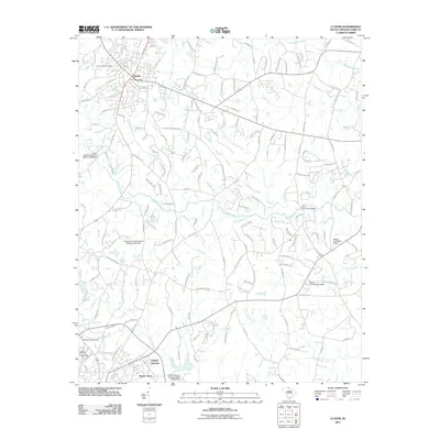
Editions of this 1985 Clover Map
This is the sole edition of this map. No revisions or reprints were ever made.
Historical Maps of York Through Time
8 maps found