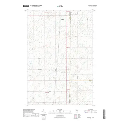
2019 Map of Cloverton
USGS Topo · Published 2019About this map
Cloverton and Kingsdale anchor this landscape along the state line where Pine County, Minnesota meets Douglas and Burnett Counties, Wisconsin. The terrain is defined by a dense network of wetlands and small watercourses, including the Upper Tamarack River, Spruce River, and Hay Creek. The Gandy Dancer Trail runs north-south through the center of the sheet, following a former rail corridor that once facilitated the regional timber and agricultural economy. The road network, including family and descriptively named routes like Rutabaga Rd, Mcdermott Creek Rd, and Bjork Rd, highlights the rural settlement patterns of the early 21st century. This map preserves the intricate drainage patterns of Bjorks Cr and Squib Cr, which dominate the low-lying areas between the scattered upland settlements.
Find a feature on this map
36 named features on this map. Tap any name to fly to it.
Don’t see what you’re looking for? This feature index may not catch every label — zoom into the map to look around manually.
Map Details
Editions of this 2019 Cloverton Map
This is the sole edition of this map. No revisions or reprints were ever made.
Other maps of this area

1949 · Danbury
USGS Topo · 1:48,000

1949 · Holyoke
USGS Topo · 1:48,000

1949 · Webb Lake
USGS Topo · 1:48,000

1949 · Patzau
USGS Topo · 1:48,000

1953 · Duluth
USGS Topo · 1:250,000

1955 · Webb Lake
USGS Topo · 1:62,500

1955 · Patzau
USGS Topo · 1:62,500

1958 · Duluth
USGS Topo · 1:250,000

1962 · Holyoke
USGS Topo · 1:62,500

1962 · Danbury
USGS Topo · 1:62,500