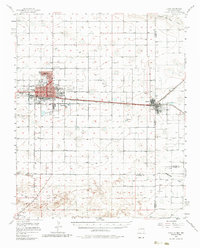
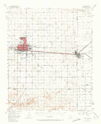
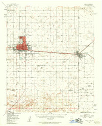
1957 Map of Clovis
USGS Topo · Published 1985About this map
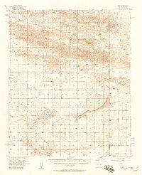
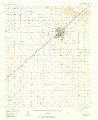
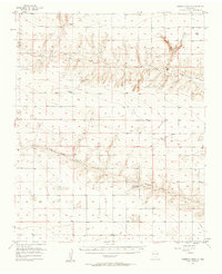
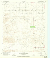
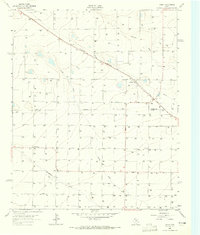
The High Plains of the Texas-New Mexico border are defined here by the bustling activity of Clovis and the adjacent border towns of Texico and Farwell. This 1950s landscape is anchored by the Atchison Topeka and Santa Fe railroad, which parallels the state line and connects the region's industrial hubs, including the Stock Yards and prominent Oil Tanks. Outside the urban grid, the terrain is marked by seasonal drainages like Running Water Draw and Blackwater Draw, alongside numerous small depressions and lakes such as Santa Fe Lake. Local life is well-documented through a dense concentration of civic institutions including the Court House, City Hall, and several community anchors like Bickley Sch and Forest Heights Ch. Genealogists will find significant detail in the five separate burial grounds shown, ranging from the large Fairview Cem to the isolated Old Farwell Cem near the state boundary.
Find a feature on this map
44 named features on this map. Tap any name to fly to it.
Don’t see what you’re looking for? This feature index may not catch every label — zoom into the map to look around manually.
Map Details
Editions of this 1957 Clovis Map
3 editions found
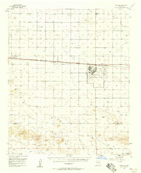
Other maps of this area

1954 · Clovis
USGS Topo · 1:250,000
1957 · Portair
USGS Topo · 1:62,500
1957 · Clovis
USGS Topo · 1:62,500
1957 · Arch
USGS Topo · 1:62,500
1957 · Portales
USGS Topo · 1:62,500

1957 · Pleasant Hill
USGS Topo · 1:62,500
1957 · Hammond Ranch
USGS Topo · 1:62,500

1958 · Clovis
USGS Topo · 1:250,000
1962 · Birdwell Ranch
USGS Topo · 1:24,000
1963 · Lariat
USGS Topo · 1:24,000