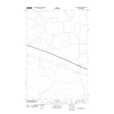
2011 Map of Cluster Buttes SW
USGS Topo · Published 2011About this map
Griffith Creek and Krug Creek define the drainage patterns of this rural landscape in Dawson County. The terrain is crisscrossed by a network of local thoroughfares, including Road 328 and Road 330, which facilitate movement across the open country. This survey by the U.S. Geological Survey details the intersection of modern infrastructure with the natural hydrology of eastern Montana, capturing the placement of corridors like Road 106 and Road 325 as they navigate the breaks and coulees characteristic of the region.
Find a feature on this map
8 named features on this map. Tap any name to fly to it.
Don’t see what you’re looking for? This feature index may not catch every label — zoom into the map to look around manually.
Map Details
Editions of this 2011 Cluster Buttes SW Map
This is the sole edition of this map. No revisions or reprints were ever made.
Other maps of this area

1909 · Glendive
USGS Topo · 1:250,000

1953 · Miles City
USGS Topo · 1:250,000

1954 · Glendive
USGS Topo · 1:250,000

1957 · Miles City
USGS Topo · 1:250,000

1957 · Glendive
USGS Topo · 1:250,000

1958 · Miles City
USGS Topo · 1:250,000

1958 · Glendive
USGS Topo · 1:250,000

1967 · Allard
USGS Topo · 1:24,000

1967 · Belle Prairie
USGS Topo · 1:24,000

1967 · Twin Forks Reservoir
USGS Topo · 1:24,000