
1967 Map of Twin Forks Reservoir
USGS Topo · Published 1970About this map
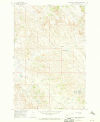
Twin Forks Reservoir and the surrounding rangeland of Dawson County define this landscape as it was documented for the Department of the Interior’s program for the development of the Missouri River Basin. The topography shows a sophisticated water management system in an arid environment, anchored by the Upper Labell Reservoir and the lengthy Labell Ditch that cuts across the southern sections.
Find a feature on this map
11 named features on this map. Tap any name to fly to it.
Don’t see what you’re looking for? This feature index may not catch every label — zoom into the map to look around manually.
Map Details
Editions of this 1967 Twin Forks Reservoir Map
This is the sole edition of this map. No revisions or reprints were ever made.
Other maps of this area

1909 · Glendive
USGS Topo · 1:250,000

1953 · Miles City
USGS Topo · 1:250,000

1954 · Glendive
USGS Topo · 1:250,000

1957 · Miles City
USGS Topo · 1:250,000

1957 · Glendive
USGS Topo · 1:250,000

1958 · Miles City
USGS Topo · 1:250,000

1958 · Glendive
USGS Topo · 1:250,000

1967 · Allard
USGS Topo · 1:24,000
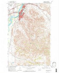
1967 · Glendive
USGS Topo · 1:24,000
1967 · Upper Magpie Reservoir
USGS Topo · 1:24,000