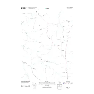
2013 Map of Clyde
USGS Topo · Published 2013About this map
Clyde sits at the northern reach of this landscape where State Road 130 and Burris Rd intersect, marking a quiet settlement pattern defined by the narrow hollows and high ridges of Iowa County. The terrain is deeply etched by water, with Otter Cr and Dickinson Cr carving paths through the hills toward the southern reaches of the quadrangle. Distinctive geologic features like Percussion Rock and Deer Shelter Rock rise in the northeast, while Union Ridge serves as a prominent divider between the southern drainage of Flint Cr and Norwegian Hollow Cr.
Find a feature on this map
50 named features on this map. Tap any name to fly to it.
Don’t see what you’re looking for? This feature index may not catch every label — zoom into the map to look around manually.
Map Details
Editions of this 2013 Clyde Map
This is the sole edition of this map. No revisions or reprints were ever made.
Other maps of this area

1902 · Mineral Point
USGS Topo · 1:125,000

1905 · Richland Center
USGS Topo · 1:125,000

1952 · Dodgeville
USGS Topo · 1:24,000

1952 · Linden
USGS Topo · 1:24,000

1958 · La Crosse
USGS Topo · 1:250,000

1959 · Dubuque
USGS Topo · 1:250,000

1960 · Muscoda
USGS Topo · 1:62,500

1960 · Spring Green
USGS Topo · 1:62,500

1961 · Dubuque
USGS Topo · 1:250,000

1961 · La Crosse
USGS Topo · 1:250,000