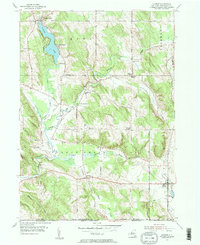
1954 Map of Clymer
USGS Topo · Published 1984About this map
French Creek meanders through the heart of this Chautauqua County landscape, defining the rural character of southwestern New York just above the Pennsylvania border. The map reveals a mid-century community organized around the water and high ground, anchored by the village of Clymer and the recreational hub at Findley Lake. Family-named crossroads like Marks Corners and Morgan Corners suggest a long-established agricultural grid, while the presence of several small burial grounds, including St Matthias Cem, Holland Cem, and Taft Cem, provide valuable points of reference for genealogical research.
Find a feature on this map
50 named features on this map. Tap any name to fly to it.
Don’t see what you’re looking for? This feature index may not catch every label — zoom into the map to look around manually.
Map Details
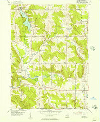
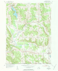
Editions of this 1954 Clymer Map
Other maps of this area

1905 · Clymer
USGS Topo · 1:62,500

1913 · North East
USGS Topo · 1:62,500

1915 · North East
USGS Topo · 1:62,500

1929 · Corry
USGS Topo · 1:48,000

1929 · Union City
USGS Topo · 1:62,500

1932 · Corry
USGS Topo · 1:62,500

1932 · Union City
USGS Topo · 1:62,500

1939 · Clymer
USGS Topo · 1:62,500

1941 · Clymer
USGS Topo · 1:62,500

1943 · North East
USGS Topo · 1:62,500