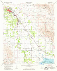
1956 Map of Coachella
USGS Topo · Published 1961About this map
Agricultural development and early desert settlement define this mid-century survey of the lower Coachella Valley. Centered on the industrial and rail hubs of Indio, Coachella, and Thermal, the map illustrates the extensive irrigation network that transformed this arid basin, including the massive Coachella Canal and the complex system of numbered avenues and named streets such as Jackson Street and Harrison Street. The southern portion of the sheet reveals the receding shoreline of the Salton Sea as it appeared in the mid-1950s.
Find a feature on this map
88 named features on this map. Tap any name to fly to it.
Don’t see what you’re looking for? This feature index may not catch every label — zoom into the map to look around manually.
Map Details
Editions of this 1956 Coachella Map
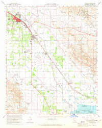
2 editions found
Other maps of this area

1904 · Indio
USGS Topo · 1:125,000

1931 · Vallecito
USGS Topo · 1:125,000

1940 · Cottonwood Spring
USGS Topo · 1:62,500

1940 · Durmid
USGS Topo · 1:62,500

1941 · Toro Peak
USGS Topo · 1:62,500

1941 · Clark Lake
USGS Topo · 1:62,500

1941 · Coachella
USGS Topo · 1:62,500

1941 · Edom
USGS Topo · 1:62,500

1942 · Agua Dulce
USGS Topo · 1:62,500

1942 · Clark Lake
USGS Topo · 1:62,500