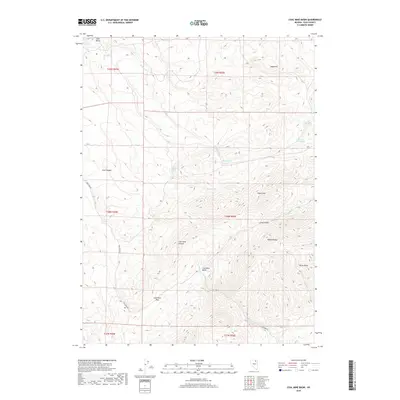
2018 Map of Coal Mine Basin
USGS Topo · Published 2018About this map
The Adobe Range dominates this landscape in northeastern Nevada, where a complex network of canyons and high-elevation basins defines the local geography. The Coal Mine Rd provides the primary passage through this territory, winding past the notable depression of Coal Mine Basin and crossing over Coal Mine Pass. These names suggest a history of resource exploration that has shaped the nomenclature of the region, visible in features like Coal Mine Canyon and Coal Canyon.
Find a feature on this map
27 named features on this map. Tap any name to fly to it.
Don’t see what you’re looking for? This feature index may not catch every label — zoom into the map to look around manually.
Map Details
Editions of this 2018 Coal Mine Basin Map
This is the sole edition of this map. No revisions or reprints were ever made.
Other maps of this area

1955 · Wells
USGS Topo · 1:250,000

1958 · Wells
USGS Topo · 1:250,000

1961 · Wells
USGS Topo · 1:250,000
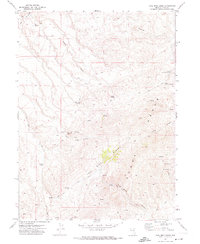
1971 · Coal Mine Basin
USGS Topo · 1:24,000
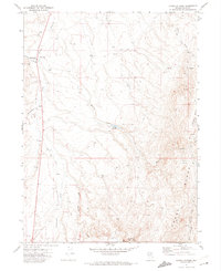
1971 · Dinner Station
USGS Topo · 1:24,000
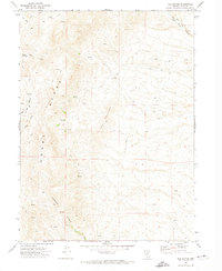
1971 · The Buttes
USGS Topo · 1:24,000
1971 · Wieland Flat
USGS Topo · 1:24,000

1971 · Double Mtn SE
USGS Topo · 1:24,000
1971 · Coal Mine Canyon SE
USGS Topo · 1:24,000
1971 · Mahala Creek East
USGS Topo · 1:24,000