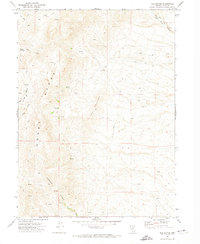
1971 Map of The Buttes
USGS Topo · Published 1974About this map
Coal Mine operations in the northeastern corner of this 1971 survey indicate the industrial activity focused on the high ridges above Coal Mine Canyon. This landscape in Elko County is defined by the steep elevation changes between the Adobe Range and the central formation of The Buttes. The mapping of Numerous unnamed Springs and ephemeral water sources like Willow Creek and Dorsey Creek highlights the critical water management required for ranching and mining in such an arid environment. A network of Jeep Trails and primitive Trails provides the only access through the rugged terrain, winding through Jackstone Canyon and along the township boundaries of T. 37 N. and T. 36 N. as they were surveyed in the early 1970s.
Find a feature on this map
12 named features on this map. Tap any name to fly to it.
Don’t see what you’re looking for? This feature index may not catch every label — zoom into the map to look around manually.
Map Details
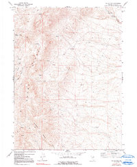
Editions of this 1971 The Buttes Map
2 editions found
Other maps of this area

1955 · Wells
USGS Topo · 1:250,000

1955 · Elko
USGS Topo · 1:250,000

1958 · Wells
USGS Topo · 1:250,000

1958 · Elko
USGS Topo · 1:250,000

1961 · Wells
USGS Topo · 1:250,000

1962 · Elko
USGS Topo · 1:250,000

1962 · Kittridge Springs
USGS Topo · 1:24,000

1962 · Ryndon
USGS Topo · 1:24,000

1962 · Osino
USGS Topo · 1:24,000

1965 · Elko
USGS Topo · 1:250,000