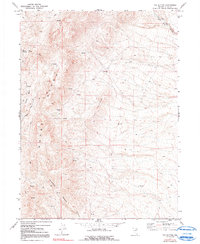
1971 Map of The Buttes
USGS Topo · Published 1991About this map
Adobe Range dominates the western skyline of this 1971 survey, where the high desert terrain of Elko County gives way to the prominent volcanic formations of The Buttes. This landscape is defined by its arid drainage patterns and an abundance of seasonal water sources, evidenced by numerous Springs and the riparian corridor of Willow Creek. The map reveals a land utilized for its natural resources and livestock range, with Coal Mine Road providing access into the depths of Coal Mine Canyon in the northeast.
Find a feature on this map
14 named features on this map. Tap any name to fly to it.
Don’t see what you’re looking for? This feature index may not catch every label — zoom into the map to look around manually.
Map Details
Editions of this 1971 The Buttes Map
2 editions found
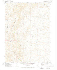
Other maps of this area

1955 · Wells
USGS Topo · 1:250,000

1955 · Elko
USGS Topo · 1:250,000

1958 · Wells
USGS Topo · 1:250,000

1958 · Elko
USGS Topo · 1:250,000

1961 · Wells
USGS Topo · 1:250,000

1962 · Elko
USGS Topo · 1:250,000

1962 · Kittridge Springs
USGS Topo · 1:24,000

1962 · Ryndon
USGS Topo · 1:24,000

1962 · Osino
USGS Topo · 1:24,000

1965 · Elko
USGS Topo · 1:250,000