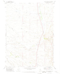
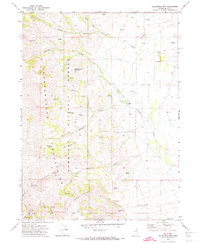
1971 Map of Mahala Creek East
USGS Topo · Published 1975About this map
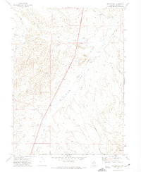
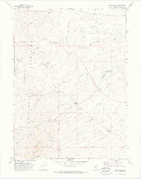
Haystack Ranch sits along the North Fork Humboldt River in this remote stretch of northeast Nevada, where high-desert drainage patterns define the landscape. The map illustrates a complex network of intermittent waterways and seasonal flows, including Mahala Creek, Gance Creek, and Lim Creek, which carve through the Sheep Hills. Numerous Spring points and the Spring Branch indicate the vital importance of water sources in this arid cattle-country environment. Infrastructure is sparse, characterized largely by a system of Jeep Trails and the Coal Mine Road providing access to local resource extraction sites like the Gravel Pit. The map reflects a mid-century period of land management where traditional ranching coexisted with increasing topographical survey precision by the U.S. Geological Survey and USC&GS.
Find a feature on this map
13 named features on this map. Tap any name to fly to it.
Don’t see what you’re looking for? This feature index may not catch every label — zoom into the map to look around manually.
Map Details
Editions of this 1971 Mahala Creek East Map
This is the sole edition of this map. No revisions or reprints were ever made.
Other maps of this area

1955 · Wells
USGS Topo · 1:250,000

1958 · Wells
USGS Topo · 1:250,000

1961 · Wells
USGS Topo · 1:250,000
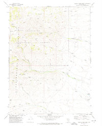
1971 · Mahala Creek West
USGS Topo · 1:24,000
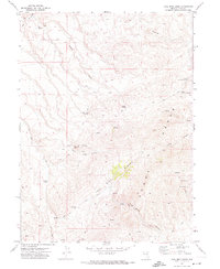
1971 · Double Mtn
USGS Topo · 1:24,000
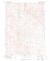
1971 · Coal Mine Basin
USGS Topo · 1:24,000

1971 · North Fork
USGS Topo · 1:24,000
1971 · California Mtn.
USGS Topo · 1:24,000
1971 · Wieland Flat
USGS Topo · 1:24,000
1971 · Reed Station
USGS Topo · 1:24,000