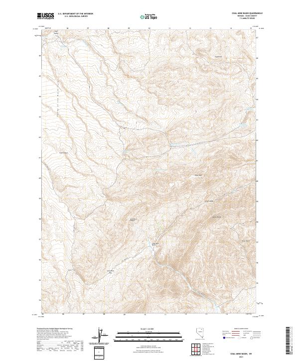
2021 Map of Coal Mine Basin
USGS Topo · Published 2021About this map
The Adobe Range dominates this landscape in northeastern Nevada, where high-altitude drainages and springs define the local geography. The area's namesake industrial history is etched into the terrain at Coal Mine Basin and Coal Mine Canyon, accessible via the winding Coal Mine Rd. This corridor through the mountains provided a critical path across Coal Mine Pass, connecting the high basins to the broader Valley of the North Fork in the west.
Find a feature on this map
28 named features on this map. Tap any name to fly to it.
Don’t see what you’re looking for? This feature index may not catch every label — zoom into the map to look around manually.
Map Details
Editions of this 2021 Coal Mine Basin Map
This is the sole edition of this map. No revisions or reprints were ever made.
Other maps of this area

1955 · Wells
USGS Topo · 1:250,000

1958 · Wells
USGS Topo · 1:250,000

1961 · Wells
USGS Topo · 1:250,000
1971 · Coal Mine Basin
USGS Topo · 1:24,000
1971 · Dinner Station
USGS Topo · 1:24,000
1971 · The Buttes
USGS Topo · 1:24,000
1971 · Wieland Flat
USGS Topo · 1:24,000

1971 · Double Mtn SE
USGS Topo · 1:24,000
1971 · Coal Mine Canyon SE
USGS Topo · 1:24,000
1971 · Mahala Creek East
USGS Topo · 1:24,000