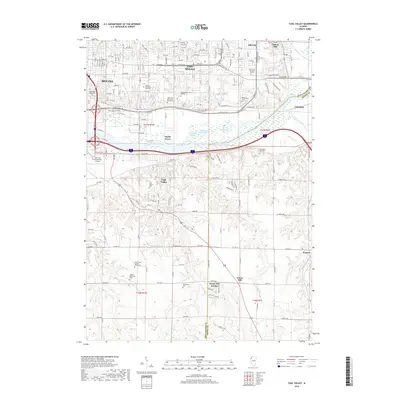
2018 Map of Coal Valley
USGS Topo · Published 2018About this map
Moline and East Moline define the northern urban corridor of this region, where the Rock River and Green River converge. The landscape is characterized by its transition from these dense industrial and residential centers toward the more open, creek-carved topography near Coal Valley and Sunny Hill. Significant infrastructure such as the Quad City International Airport and Black Hawk College reflects the area's development as a regional hub, while the presence of numerous dedicated grounds like Moline Memorial Park Cem and Greenview Memorial Gardens provides essential data for those researching local family history.
Find a feature on this map
46 named features on this map. Tap any name to fly to it.
Don’t see what you’re looking for? This feature index may not catch every label — zoom into the map to look around manually.
Map Details
Editions of this 2018 Coal Valley Map
This is the sole edition of this map. No revisions or reprints were ever made.
Other maps of this area

1891 · Davenport
USGS Topo · 1:62,500

1892 · Leclaire
USGS Topo · 1:62,500

1893 · Leclaire
USGS Topo · 1:62,500

1894 · Davenport
USGS Topo · 1:62,500

1899 · Clinton
USGS Topo · 1:125,000

1901 · Rock Island
USGS Topo · 1:125,000

1910 · Rock Island
USGS Topo · 1:125,000

1912 · Milan
USGS Topo · 1:62,500

1937 · Orion
USGS Topo · 1:62,500

1944 · Milan
USGS Topo · 1:62,500