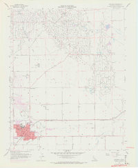
1956 Map of Coalinga
USGS Topo · Published 1972About this map
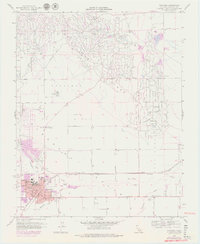
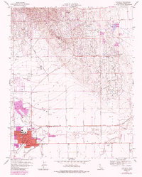
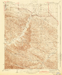
The East Coalinga Oil Field and Pleasant Valley Oil Field dominate this mid-century landscape, illustrating the industrial footprint of the petroleum industry in Fresno County. The town of Coalinga serves as the regional hub, featuring a dense concentration of local institutions including Sunset Sch, Cheney Sch, and the Jr College. The map reveals a transition from the industrial derricks and tanks of Oilfields to the expanding residential areas updated in the early 1970s.
Find a feature on this map
38 named features on this map. Tap any name to fly to it.
Don’t see what you’re looking for? This feature index may not catch every label — zoom into the map to look around manually.
Map Details
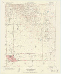
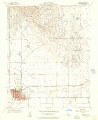
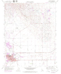
Editions of this 1956 Coalinga Map
7 editions found

Other maps of this area

1912 · Coalinga
USGS Topo · 1:125,000

1928 · Delta Farms No 3
USGS Topo · 1:31,680

1930 · Canoas Creek
USGS Topo · 1:31,680

1932 · Delta Farms
USGS Topo · 1:31,680

1933 · Guijarral Hills
USGS Topo · 1:31,680

1934 · Canoas Creek
USGS Topo · 1:31,680

1936 · Kreyenhagen Hills
USGS Topo · 1:31,680
1936 · Guijarral Hills
USGS Topo · 1:31,680
1937 · Guijarral Hills
USGS Topo · 1:31,680
1941 · Kreyenhagen Hills
USGS Topo · 1:31,680