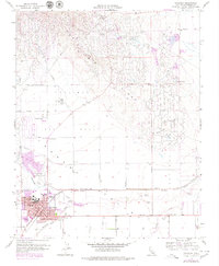
1956 Map of Coalinga
USGS Topo · Published 1980About this map
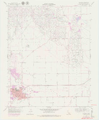
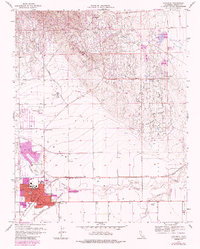
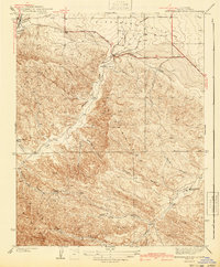
Coalinga Oil Field and its surrounding operations dominate the landscape of the western San Joaquin Valley during this mid-century period. The industrial geometry of the petroleum industry is etched across the terrain, from the Anticline Ridge down to the Pleasant Valley Oil Field. Numerous tanks, pumping stations, and wells are concentrated near settlements like Oilfields and Lake Los Nietos, illustrating the specialized infrastructure required for large-scale extraction.
Find a feature on this map
38 named features on this map. Tap any name to fly to it.
Don’t see what you’re looking for? This feature index may not catch every label — zoom into the map to look around manually.
Map Details
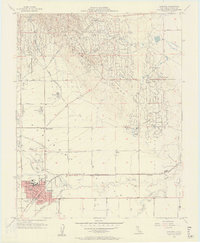
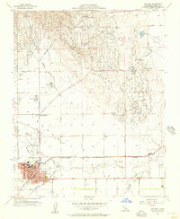
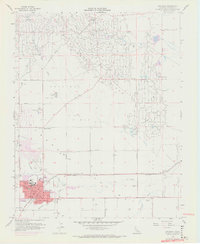
Editions of this 1956 Coalinga Map
7 editions found

Other maps of this area

1912 · Coalinga
USGS Topo · 1:125,000

1928 · Delta Farms No 3
USGS Topo · 1:31,680

1930 · Canoas Creek
USGS Topo · 1:31,680

1932 · Delta Farms
USGS Topo · 1:31,680

1933 · Guijarral Hills
USGS Topo · 1:31,680

1934 · Canoas Creek
USGS Topo · 1:31,680

1936 · Kreyenhagen Hills
USGS Topo · 1:31,680
1936 · Guijarral Hills
USGS Topo · 1:31,680
1937 · Guijarral Hills
USGS Topo · 1:31,680
1941 · Kreyenhagen Hills
USGS Topo · 1:31,680