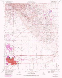
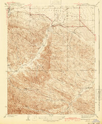
1956 Map of Coalinga
USGS Topo · Published 1985About this map
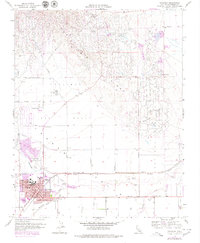
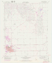
Coalinga sits at the nexus of California's energy and agricultural history, flanked by the Coalinga Oil Field and the Pleasant Valley Oil Field. The landscape is defined by the industrial grid of the Oilfields to the north and the seasonal paths of Los Gatos Creek and Warthan Creek. Significant mid-century infrastructure supports the town, including the Southern Pacific railroad and the Coalinga Pumping Station. Local education and community life are grounded in the presence of the Jr College, High School, and neighborhood sites like Sunset School and Cheney School. The 1970s-era urban expansion, marked in purple, shows the growth of the residential core south toward Jayne Ave and the Drive-in Theater. Small-scale features such as the Cemetery and the settlement at Ora provide essential touchstones for genealogical research in this San Joaquin Valley region.
Find a feature on this map
34 named features on this map. Tap any name to fly to it.
Don’t see what you’re looking for? This feature index may not catch every label — zoom into the map to look around manually.
Map Details
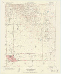
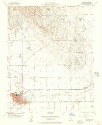
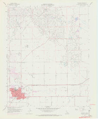
Editions of this 1956 Coalinga Map
7 editions found

Other maps of this area

1912 · Coalinga
USGS Topo · 1:125,000

1928 · Delta Farms No 3
USGS Topo · 1:31,680

1930 · Canoas Creek
USGS Topo · 1:31,680

1932 · Delta Farms
USGS Topo · 1:31,680

1933 · Guijarral Hills
USGS Topo · 1:31,680

1934 · Canoas Creek
USGS Topo · 1:31,680

1936 · Kreyenhagen Hills
USGS Topo · 1:31,680
1936 · Guijarral Hills
USGS Topo · 1:31,680
1937 · Guijarral Hills
USGS Topo · 1:31,680
1941 · Kreyenhagen Hills
USGS Topo · 1:31,680