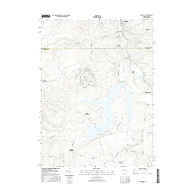
2016 Map of Coalport
USGS Topo · Published 2016About this map
Glendale Lake dominates the central landscape of this West-Central Pennsylvania survey, where the winding waters of Clearfield Creek serve as the primary drainage through the steep valley. The borough of Coalport sits at the northern edge, part of a cluster of settlements that include Lyleville and Heverly near the Clearfield and Cambria county line. This era reflects a landscape defined by small-town connectivity and water resources, evidenced by the numerous named runs like Killbuck Run and Beaverdam Run that feed into the larger reservoir and creek system.
Find a feature on this map
83 named features on this map. Tap any name to fly to it.
Don’t see what you’re looking for? This feature index may not catch every label — zoom into the map to look around manually.
Map Details
Editions of this 2016 Coalport Map
This is the sole edition of this map. No revisions or reprints were ever made.
Other maps of this area

1902 · Patton
USGS Topo · 1:62,500

1903 · Curwensville
USGS Topo · 1:62,500

1903 · Houtzdale
USGS Topo · 1:62,500

1904 · Patton
USGS Topo · 1:62,500

1905 · Houtzdale
USGS Topo · 1:62,500

1920 · Altoona
USGS Topo · 1:62,500

1922 · Altoona
USGS Topo · 1:62,500

1939 · Curwensville
USGS Topo · 1:62,500

1942 · Curwensville
USGS Topo · 1:62,500

1943 · Punxsutawney
USGS Topo · 1:125,000