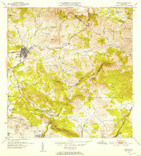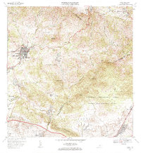
1960 Map of Coamo
USGS Topo · Published 1962About this map
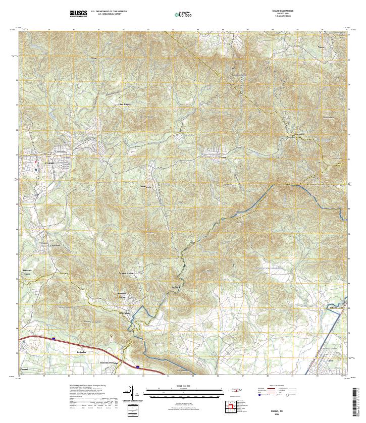
Coamo serves as the central hub of this 1960 revision, situated where the Río Coamo winds through the southern foothills of the Cordillera Central. The landscape is a transition from the dense urban grid of the town, featuring landmarks like the Parque Atlético and the Planta de Filtración, to the agricultural and natural features of the surrounding barrios. Genealogists and historians will find significant detail in the southern reaches of the map, where Hacienda Buena Vista and Hacienda Esmeralda mark the land's plantation history near Cuevas.
Find a feature on this map
57 named features on this map. Tap any name to fly to it.
Don’t see what you’re looking for? This feature index may not catch every label — zoom into the map to look around manually.
Map Details
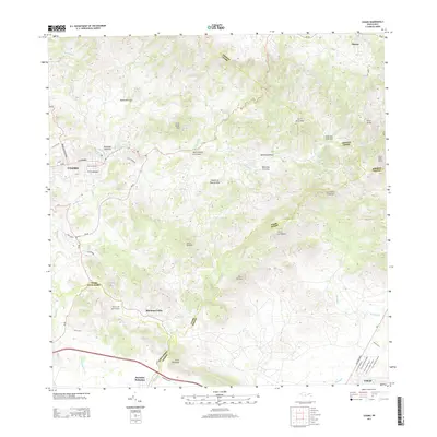
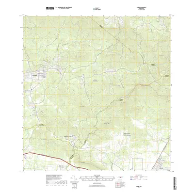
Editions of this 1960 Coamo Map
2 editions found

Historical Maps of Coamo Through Time
7 maps found