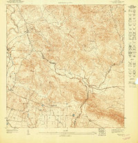
1947 Map of Coamo SO
USGS Topo · Published 1947About this map
The famed thermal waters of Baños de Coamo define this southern Puerto Rican landscape during the mid-1940s, situated where the northern highlands begin to meet the coastal plains. This preliminary survey details a transitioning agrarian economy, marked by large estates like Hacienda Esmeralda and Hacienda San José, alongside labor settlements such as Colonia Peñuelas. The importance of water management for the region's agriculture is evident in the engineered Canal de Juan Díaz and the presence of Spring No. 2. Topographically, the map transitions from the winding course of the Río Coamo to the prominent heights of Cerro Presidio and Cerro Raspaldo. These features, combined with small mountain communities like Sabana Hoyos and Las Flores, illustrate the historic intersection of natural resources and established plantation land use patterns in the Coamo and Santa Isabel municipalities.
Find a feature on this map
20 named features on this map. Tap any name to fly to it.
Don’t see what you’re looking for? This feature index may not catch every label — zoom into the map to look around manually.
Map Details
Editions of this 1947 Coamo SO Map
This is the sole edition of this map. No revisions or reprints were ever made.
Other maps of this area

1944 · Santa Isabel
USGS Topo · 1:30,000

1945 · Rio Descalabrado
USGS Topo · 1:30,000

1945 · Salinas
USGS Topo · 1:30,000

1946 · Coamo
USGS Topo · 1:30,000
1947 · Rio Descalabrado SE
USGS Topo · 1:10,000
1947 · Salinas NE
USGS Topo · 1:10,000
1947 · Rio Descalabrado NE
USGS Topo · 1:10,000
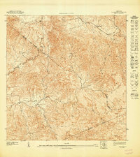
1947 · Coamo NE
USGS Topo · 1:10,000
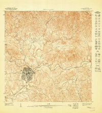
1947 · Coamo NO
USGS Topo · 1:10,000
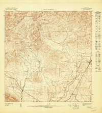
1947 · Coamo SE
USGS Topo · 1:10,000