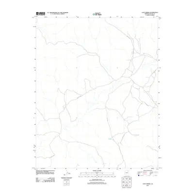
2011 Map of Coat Spring
USGS Topo · Published 2011About this map
Coat Spring and Little Spring provide vital water sources in this Navajo County landscape, where the high desert terrain is marked by distinctive formations like Saa Betoh and Tse No Dozz. The 2011 survey reveals a complex network of local transit corridors, including Indian Rte 41 and Indian Rte 8032, which navigate around the prominent Cliff Edge. This map documents a sparsely populated region where life revolves around these isolated water points and the connecting routes of the Little Water Rd and Little Water Rte. The presence of Water on the Rock Spring further illustrates the critical role that specific, named hydrographic features play in the geography of the Chinle Agency area.
Find a feature on this map
12 named features on this map. Tap any name to fly to it.
Don’t see what you’re looking for? This feature index may not catch every label — zoom into the map to look around manually.
Map Details
Editions of this 2011 Coat Spring Map
This is the sole edition of this map. No revisions or reprints were ever made.
Other maps of this area

1883 · Marsh Pass
USGS Topo · 1:250,000

1892 · Marsh Pass
USGS Topo · 1:250,000

1956 · Marble Canyon
USGS Topo · 1:250,000

1959 · Marble Canyon
USGS Topo · 1:250,000

1961 · Marble Canyon
USGS Topo · 1:250,000
1967 · Hard Rocks
USGS Topo · 1:24,000
1967 · Big Mountain Dam
USGS Topo · 1:24,000
1967 · Pinon NW
USGS Topo · 1:24,000
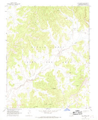
1967 · Coat Spring
USGS Topo · 1:24,000
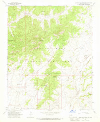
1967 · Little Black Spot Mtn
USGS Topo · 1:24,000