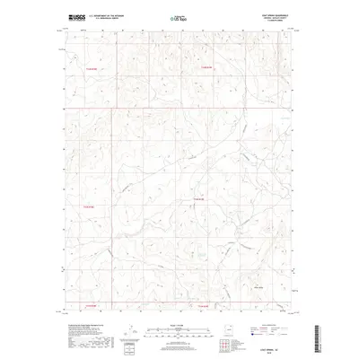
2018 Map of Coat Spring
USGS Topo · Published 2018About this map
Coat Spring and several other remote water sources are the primary landmarks in this 2018 survey of high desert terrain in the Navajo County region. The landscape is defined by its subtle drainage patterns and significant elevation changes, most notably along the extensive Cliff Edge that divides the higher plateaus from the lower stretches of White Valley. This transition between levels is marked by seasonal or permanent water points such as Water on the Rock Spring and Little Spring.
Find a feature on this map
19 named features on this map. Tap any name to fly to it.
Don’t see what you’re looking for? This feature index may not catch every label — zoom into the map to look around manually.
Map Details
Editions of this 2018 Coat Spring Map
This is the sole edition of this map. No revisions or reprints were ever made.
Other maps of this area

1883 · Marsh Pass
USGS Topo · 1:250,000

1892 · Marsh Pass
USGS Topo · 1:250,000

1956 · Marble Canyon
USGS Topo · 1:250,000

1959 · Marble Canyon
USGS Topo · 1:250,000

1961 · Marble Canyon
USGS Topo · 1:250,000
1967 · Hard Rocks
USGS Topo · 1:24,000
1967 · Big Mountain Dam
USGS Topo · 1:24,000
1967 · Pinon NW
USGS Topo · 1:24,000
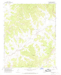
1967 · Coat Spring
USGS Topo · 1:24,000
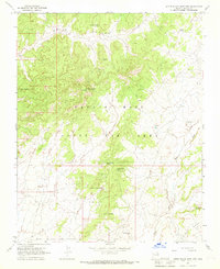
1967 · Little Black Spot Mtn
USGS Topo · 1:24,000