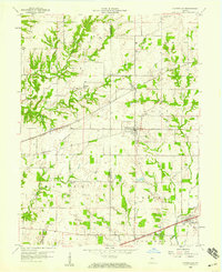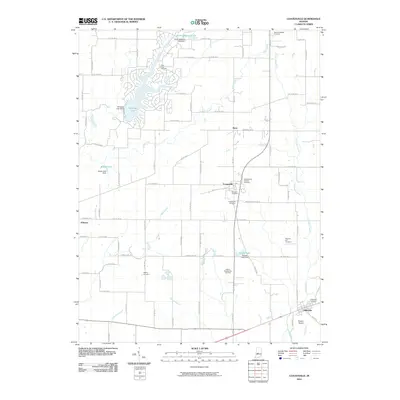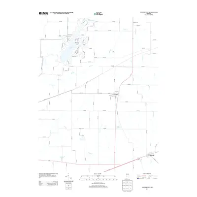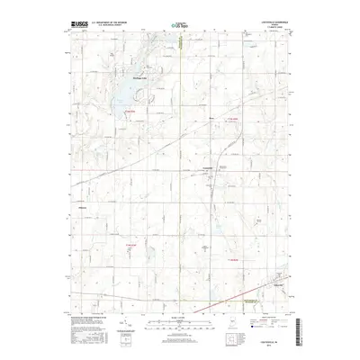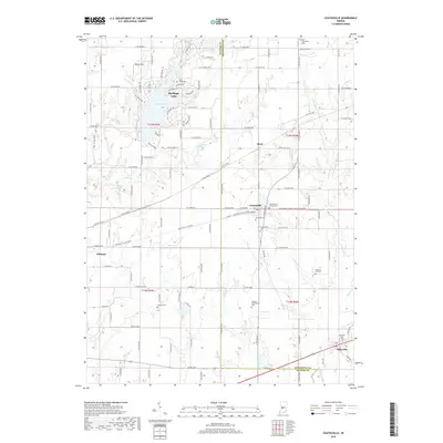
1970 Map of Coatesville
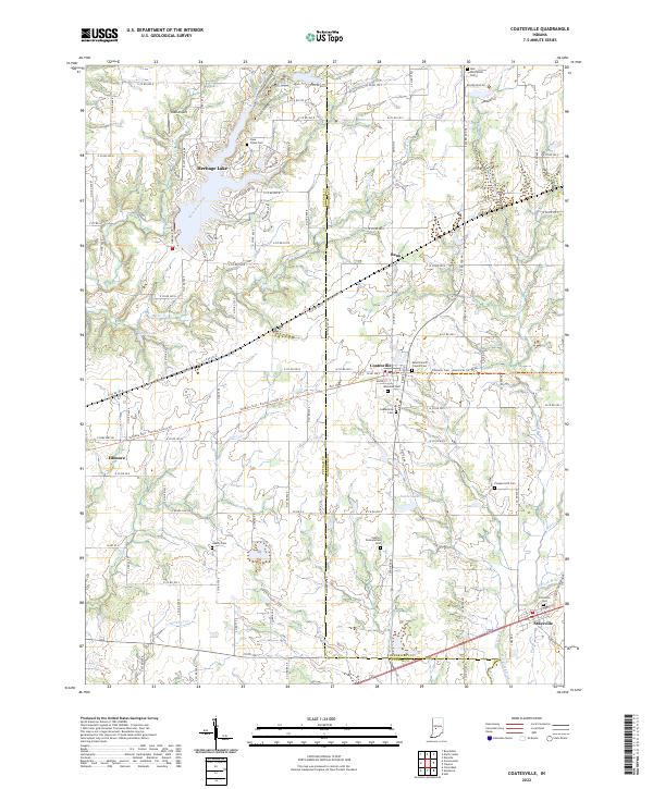
USGS Topo · Published 1981About this map
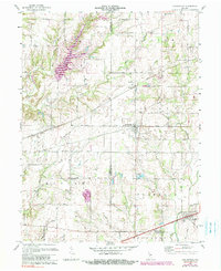
Coatesville and Stilesville anchor this detailed study of the central Indiana landscape as it appeared in the late 1960s and early 1970s. The terrain is defined by a dense network of waterways including Mononchals Fork, Clear Creek, and Mill Creek, illustrating the drainage patterns that shaped the development of Floyd and Franklin townships. The Conrail line cuts a straight path through the center of the sheet, passing through the small community of Reno and providing a clear look at the transportation infrastructure connecting these agricultural hubs.
Find a feature on this map
29 named features on this map. Tap any name to fly to it.
Don’t see what you’re looking for? This feature index may not catch every label — zoom into the map to look around manually.
Map Details
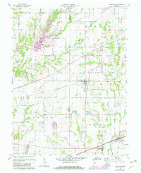
Editions of this 1970 Coatesville Map
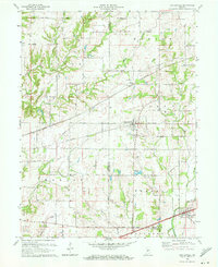
Historical Maps of Coatesville Through Time
7 maps found