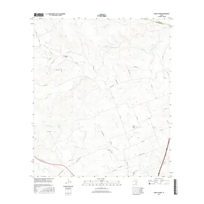
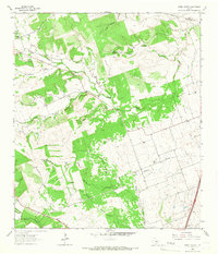
2016 Map of Cobbs Cavern
USGS Topo · Published 2016About this map
Cobbs Cavern and the surrounding drainage basins of the Salado Creek system define this portion of the Texas Hill Country north of Georgetown. The landscape is characterized by its karst features and seasonal waterways, including the Cobbs Springs Br and Pecan Springs Br. Local history is preserved through scattered rural landmarks like the Land Cem and Farmer Cem, alongside topographical markers such as Schoolhouse Hollow. Modern infrastructure is visible in the development of Ronald Reagan Blvd, which parallels older routes like Old State Hwy 195. The presence of the Sybert Farm Airport suggests the continued importance of private aviation and large landholdings in this part of Williamson County during the early twenty-first century.
Find a feature on this map
52 named features on this map. Tap any name to fly to it.
Don’t see what you’re looking for? This feature index may not catch every label — zoom into the map to look around manually.
Map Details
Editions of this 2016 Cobbs Cavern Map
This is the sole edition of this map. No revisions or reprints were ever made.
Other maps of this area

1893 · Georgetown
USGS Topo · 1:125,000

1925 · Georgetown 4-b
USGS Topo · 1:48,000

1928 · Round Rock
USGS Topo · 1:62,500

1949 · Round Rock
USGS Topo · 1:62,500

1951 · Round Rock
USGS Topo · 1:62,500

1954 · Austin
USGS Topo · 1:250,000
1958 · Youngsport
USGS Topo · 1:24,000
1958 · Ding Dong
USGS Topo · 1:24,000
1962 · Leander NE
USGS Topo · 1:24,000
1964 · Cobbs Cavern
USGS Topo · 1:24,000