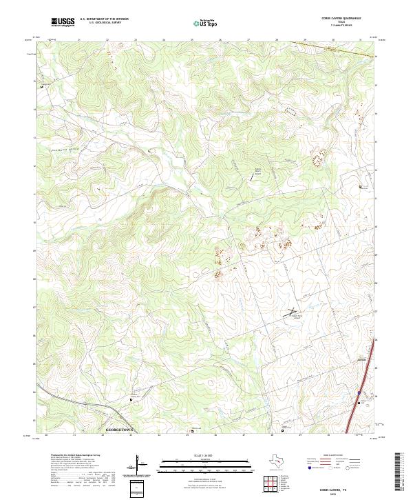
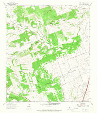
2022 Map of Cobbs Cavern
USGS Topo · Published 2022About this map
Georgetown and Jarrell bookend this landscape where the limestone hills of Williamson County transition into the blackland prairies. The terrain is defined by a dense network of watercourses, including Salado Cr and its northern and southern forks, alongside Berry Creek and Cobbs Springs Br. This area reflects a long history of family settlement, evidenced by numerous small burial grounds such as the Sullivan Family Cem, Lawler Cem, and the Salyer - Millard Cem.
Find a feature on this map
57 named features on this map. Tap any name to fly to it.
Don’t see what you’re looking for? This feature index may not catch every label — zoom into the map to look around manually.
Map Details
Editions of this 2022 Cobbs Cavern Map
This is the sole edition of this map. No revisions or reprints were ever made.
Other maps of this area

1893 · Georgetown
USGS Topo · 1:125,000

1925 · Georgetown 4-b
USGS Topo · 1:48,000

1928 · Round Rock
USGS Topo · 1:62,500

1949 · Round Rock
USGS Topo · 1:62,500

1951 · Round Rock
USGS Topo · 1:62,500

1954 · Austin
USGS Topo · 1:250,000
1958 · Youngsport
USGS Topo · 1:24,000
1958 · Ding Dong
USGS Topo · 1:24,000
1962 · Leander NE
USGS Topo · 1:24,000
1964 · Cobbs Cavern
USGS Topo · 1:24,000