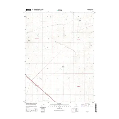
2014 Map of Cobre
USGS Topo · Published 2014About this map
Goshute Valley forms a broad basin at the heart of this Elko County survey, flanked by the high elevations of the Pequop Mountains to the west and the Toano Range to the east. The settlement of Oasis serves as a primary point of interest in the southwest, situated where the terrain begins to transition from the valley floor toward the rugged slopes. Drainage across this arid landscape is defined by seasonal waterways such as E Squaw Creek, Nanny Creek, and Sixmile Creek, which illustrate the hydrological patterns of the eastern Great Basin.
Find a feature on this map
15 named features on this map. Tap any name to fly to it.
Don’t see what you’re looking for? This feature index may not catch every label — zoom into the map to look around manually.
Map Details
Editions of this 2014 Cobre Map
This is the sole edition of this map. No revisions or reprints were ever made.
Other maps of this area

1955 · Wells
USGS Topo · 1:250,000

1955 · Elko
USGS Topo · 1:250,000

1958 · Wells
USGS Topo · 1:250,000

1958 · Elko
USGS Topo · 1:250,000

1961 · Wells
USGS Topo · 1:250,000

1962 · Elko
USGS Topo · 1:250,000

1965 · Elko
USGS Topo · 1:250,000

1967 · Valley Pass
USGS Topo · 1:24,000

1967 · Loray
USGS Topo · 1:24,000

1967 · Cobre SE
USGS Topo · 1:24,000