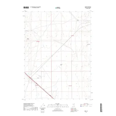
2018 Map of Cobre
USGS Topo · Published 2018About this map
Goshute Valley forms the central corridor of this Elko County region, flanked by the dramatic elevations of the Pequop Mountains to the west and the Toano Range to the east. The 2018 survey reveals a landscape defined by its high-desert topography and the essential watercourses that descend from the surrounding peaks, including E Squaw Cr, Nanny Cr, and Sixmile Cr. This area is anchored by the small settlements of Oasis and Cobre, which serve as critical transit points in this part of northeastern Nevada. The infrastructure is characterized by the diagonal path of Alt 93, illustrating the area's continued role as a gateway between mountain passes and the broad valley floor. The map provides a precise look at the township and range divisions, such as t37n r67e, which overlay the natural terrain.
Find a feature on this map
13 named features on this map. Tap any name to fly to it.
Don’t see what you’re looking for? This feature index may not catch every label — zoom into the map to look around manually.
Map Details
Editions of this 2018 Cobre Map
This is the sole edition of this map. No revisions or reprints were ever made.
Other maps of this area

1955 · Wells
USGS Topo · 1:250,000

1955 · Elko
USGS Topo · 1:250,000

1958 · Wells
USGS Topo · 1:250,000

1958 · Elko
USGS Topo · 1:250,000

1961 · Wells
USGS Topo · 1:250,000

1962 · Elko
USGS Topo · 1:250,000

1965 · Elko
USGS Topo · 1:250,000

1967 · Valley Pass
USGS Topo · 1:24,000

1967 · Loray
USGS Topo · 1:24,000

1967 · Cobre SE
USGS Topo · 1:24,000