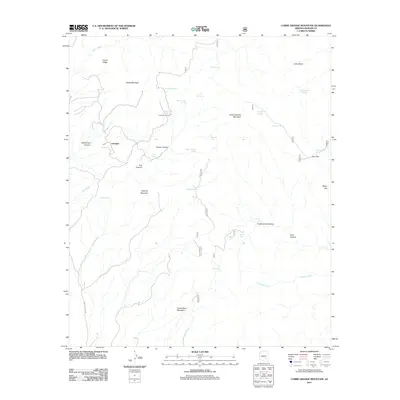
2011 Map of Cobre Grande Mountain
USGS Topo · Published 2011About this map
Aravaipa sits at the western edge of this 2011 survey, where the Aravaipa Town Rd provides a vital link through the high desert of Graham County. The landscape is defined by massive formations such as Cobre Grande Mountain and Grand Reef Mountain, separated by deep drainages including Cottonwood Canyon and Copper Canyon. This area of the Galiuro Mountains is characterized by a high concentration of natural water sources, including Mineshaft Spring, Soda Water Spring, and Bandsman Spring, which likely supported early ranching and prospecting efforts.
Find a feature on this map
37 named features on this map. Tap any name to fly to it.
Don’t see what you’re looking for? This feature index may not catch every label — zoom into the map to look around manually.
Map Details
Editions of this 2011 Cobre Grande Mountain Map
This is the sole edition of this map. No revisions or reprints were ever made.
Other maps of this area

1938 · Klondyke
USGS Topo · 1:48,000

1943 · Klondyke
USGS Topo · 1:62,500

1944 · Jackson Mtn.
USGS Topo · 1:62,500

1946 · Jackson Mtn.
USGS Topo · 1:62,500

1954 · Mesa
USGS Topo · 1:250,000

1956 · Tucson
USGS Topo · 1:250,000

1957 · Mesa
USGS Topo · 1:250,000

1958 · Mesa
USGS Topo · 1:250,000

1958 · Tucson
USGS Topo · 1:250,000

1959 · Tucson
USGS Topo · 1:250,000