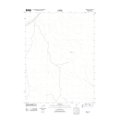
2012 Map of Cobre SE
USGS Topo · Published 2012About this map
Toano Range terrain defines this portion of Elko County, where the high desert landscape is marked by sparse but vital water sources and remote transportation corridors. The settlement of Omar sits along a primary rail and road artery in the northwest corner, serving as a rare point of human habitation in this arid expanse. Further south and east, the presence of Loray Reservoir and Granite Springs highlights the critical infrastructure required to support ranching or local industry in the Great Basin. This 2012 survey captures the intersection of natural topography and the utilitarian features necessary for navigating and utilizing the Nevada desert.
Find a feature on this map
4 named features on this map. Tap any name to fly to it.
Don’t see what you’re looking for? This feature index may not catch every label — zoom into the map to look around manually.
Map Details
Editions of this 2012 Cobre SE Map
This is the sole edition of this map. No revisions or reprints were ever made.
Other maps of this area

1955 · Wells
USGS Topo · 1:250,000

1955 · Elko
USGS Topo · 1:250,000

1958 · Wells
USGS Topo · 1:250,000

1958 · Elko
USGS Topo · 1:250,000

1961 · Wells
USGS Topo · 1:250,000

1962 · Elko
USGS Topo · 1:250,000

1965 · Elko
USGS Topo · 1:250,000

1967 · Valley Pass
USGS Topo · 1:24,000

1967 · Loray
USGS Topo · 1:24,000
1967 · Pilot Peak NW
USGS Topo · 1:24,000