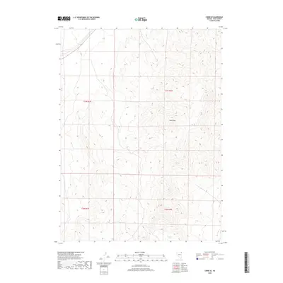
2018 Map of Cobre SE
USGS Topo · Published 2018About this map
The high ridges of the Toano Range dominate this 2018 topographic survey in the northeast corner of Nevada. This terrain is defined by extreme verticality, with the map recording significant elevation changes across a series of north-south running peaks and valleys. In the southern portion of the quadrangle, Granite Springs provides a rare point of named hydrography in an otherwise arid landscape. Produced by the U.S. Geological Survey, the map provides a precise layout of the Public Land Survey System boundaries, including the intersections of t37n r67e, t37n r68e, t36n r67e, and t36n r68e. This 7.5-minute series document is an essential reference for understanding the physical geography and land management divisions of Elko County near the end of the second decade of the 21st century.
Find a feature on this map
6 named features on this map. Tap any name to fly to it.
Don’t see what you’re looking for? This feature index may not catch every label — zoom into the map to look around manually.
Map Details
Editions of this 2018 Cobre SE Map
This is the sole edition of this map. No revisions or reprints were ever made.
Other maps of this area

1955 · Wells
USGS Topo · 1:250,000

1955 · Elko
USGS Topo · 1:250,000

1958 · Wells
USGS Topo · 1:250,000

1958 · Elko
USGS Topo · 1:250,000

1961 · Wells
USGS Topo · 1:250,000

1962 · Elko
USGS Topo · 1:250,000

1965 · Elko
USGS Topo · 1:250,000

1967 · Valley Pass
USGS Topo · 1:24,000

1967 · Loray
USGS Topo · 1:24,000
1967 · Pilot Peak NW
USGS Topo · 1:24,000